
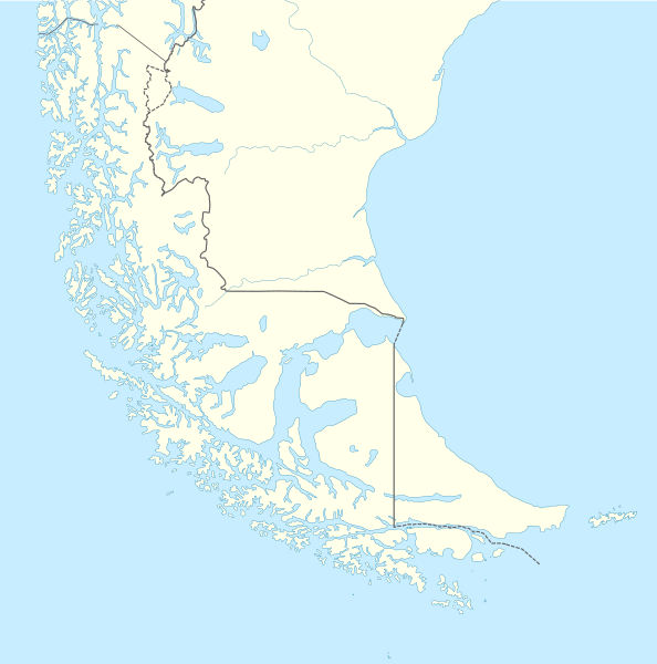
Archivo: Tierra del Fuego location map

Description: Location map of Tierra del Fuego and surroundings
Title: Tierra del Fuego location map
Credit: Own work, using United States National Imagery and Mapping Agency data World Data Base II data
Author: NordNordWest
Permission: I have published this file as author NordNordWest under the "CC-BY-SA-3.0-DE" in Wikipedia. This means that free, commercial usage outside of Wikipedia is permitted under the following licence terms: Online media: The author "NordNordWest/Wikipedia" is named A weblink to the original file is provided: //commons.wikimedia.org/wiki/File:Tierra_del_Fuego_location_map.svg A copy of or the Uniform Resource Identifier (https://creativecommons.org/licenses/by-sa/3.0/de/legalcode) for this licence with every copy Print media: The author "NordNordWest/Wikipedia" is named A copy of or the Uniform Resource Identifier (https://creativecommons.org/licenses/by-sa/3.0/de/legalcode) for this licence with every copy Please send me a specimen copy or the URL of the website where the file is used. Please write an email to nnwest[at]web.de if you need my postal address for sending a specimen copy have further questions about the terms of the licence PS: In case of refusal of the above terms the author reserves the right to take legal action. This file has been released under a license which is incompatible with Facebook's licensing terms. It is not permitted to upload this file to Facebook. This file is licensed under the Creative Commons Attribution-Share Alike 3.0 Germany license. You are free: to share – to copy, distribute and transmit the work to remix – to adapt the work Under the following conditions: attribution – You must give appropriate credit, provide a link to the license, and indicate if changes were made. You may do so in any reasonable manner, but not in any way that suggests the licensor endorses you or your use. share alike – If you remix, transform, or build upon the material, you must distribute your contributions under the same or compatible license as the original. https://creativecommons.org/licenses/by-sa/3.0/de/deed.en CC BY-SA 3.0 de Creative Commons Attribution-Share Alike 3.0 de truetrue This file is licensed under the Creative Commons Attribution-Share Alike 3.0 Germany license. You are free: to share – to copy, distribute and transmit the work to remix – to adapt the work Under the following conditions: attribution – You must give appropriate credit, provide a link to the license, and indicate if changes were made. You may do so in any reasonable manner, but not in any way that suggests the licensor endorses you or your use. share alike – If you remix, transform, or build upon the material, you must distribute your contributions under the same or compatible license as the original. https://creativecommons.org/licenses/by-sa/3.0/de/deed.en CC BY-SA 3.0 de Creative Commons Attribution-Share Alike 3.0 de truetrue
Usage Terms: Creative Commons Attribution-Share Alike 3.0 de
License: CC BY-SA 3.0 de
License Link: https://creativecommons.org/licenses/by-sa/3.0/de/deed.en
Attribution Required?: Yes
Usos del archivo
Las siguientes páginas enlazan a este archivo:
- Aguja Poincenot
- Archipiélago de Año Nuevo
- Bahía Aguirre
- Bahía Almirante Brown
- Bahía Buen Suceso
- Bahía Cambaceres
- Bahía Ensenada Zaratiegui
- Bahía Golondrina (bahía)
- Bahía Harberton
- Bahía Relegada
- Bahía Thetis
- Bahía Varela
- Bahía Yendegaia
- Bahía de San Sebastián
- Bahía de Ushuaia
- Baliza Zeballos
- Cabo de Hornos
- Campo de hielo patagónico sur
- Campo volcánico Pali Aike
- Cascada Nahiara
- Cerro Agassiz
- Cerro Bandera
- Cerro Bertrand
- Cerro Bolados
- Cerro Cacique Casimiro
- Cerro Campana (Patagonia)
- Cerro Cervantes
- Cerro Cinco Hermanos
- Cerro Comandante Piedrabuena
- Cerro Cono
- Cerro Cubo
- Cerro Cuerno (Patagonia)
- Cerro Daudet
- Cerro Doblado
- Cerro Domo Blanco (campo de hielo patagónico sur)
- Cerro Don Bosco
- Cerro Dos Codos
- Cerro Dos Picos (Santa Cruz)
- Cerro Gardener
- Cerro Gorra Blanca
- Cerro Grande (Patagonia)
- Cerro Heim
- Cerro Huemul
- Cerro Masters
- Cerro Mayo (Patagonia)
- Cerro Murallón
- Cerro Onelli Central
- Cerro Peineta
- Cerro Pietrobelli
- Cerro Puntudo
- Cerro Rincón (campo de hielo patagónico sur)
- Cerro Roma
- Cerro Spegazzini Norte
- Cerro Spegazzini Sur
- Cerro Stokes
- Cerro Teniente Feilberg
- Cerro Tilman
- Cerro Torino
- Cerro Torino Este
- Cerro Torre
- Cerro Viedma
- Cerro Ñato (Patagonia)
- Dientes de Navarino
- Faro Cabo San Pablo
- Glaciar Dickson
- Glaciar Grey
- Glaciar Martial
- Glaciar Ojo del Albino
- Glaciar Romanche
- Glaciar Spegazzini
- Glaciar Upsala
- Glaciar Viedma
- Glaciar Vinciguerra
- Intento de colonización española del estrecho de Magallanes
- Isla Arica
- Isla Gable
- Isla Isabel (Chile)
- Isla Magdalena (Magallanes)
- Isla Martillo
- Isla Observatorio (Argentina)
- Isla Redonda (canal Beagle)
- Monte Aymond (elevación)
- Monte Darwin (Chile)
- Monte Fitz Roy
- Monte Sarmiento
- Monte Shipton
- Montes Martial
- Parque natural Karukinka
- Península El Páramo
- Península Ushuaia
- Puerto Toro
- Punta Dungeness
- Río Lapataia
- Sierra Sorondo
- Sierra de Beauvoir
- Torre Egger
- Villa Ukika
- Volcán Fueguino
