
Archivo: Polynésie française collectivity relief location map
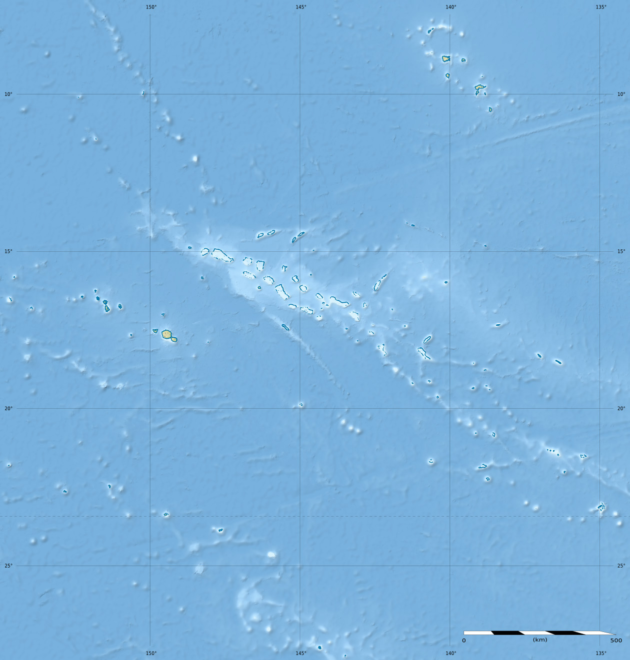
Description: Blank physical map of the overseas collectivity of French Polynesia, France, for geo-location purpose.
Title: Polynésie française collectivity relief location map
Credit: Own work Sources of data: SRTM30 Plus ; NGDC GSHHS (public domain).
Author: Eric Gaba (Sting - fr:Sting)
Permission: Attribution and Share-Alike required Any use of this map can be made as long as you credit me (Eric Gaba – Wikimedia Commons user: Sting) as the author and distribute the copies and derivative works under the same license(s) that the one(s) stated below. A message with a reply address would also be greatly appreciated.
Usage Terms: Creative Commons Attribution-Share Alike 3.0
License: CC BY-SA 3.0
License Link: https://creativecommons.org/licenses/by-sa/3.0
Attribution Required?: Yes
Usos del archivo
Las siguientes páginas enlazan a este archivo:
- Amanu (atolón)
- Anaa (atolón)
- Bora Bora (atolón)
- Fatu Hiva (isla)
- Hao (atolón)
- Hereheretue (atolón)
- Hiva Oa (isla)
- Huahine (isla)
- Marutea Sur
- Matureivavao
- Moho Tani
- Moorea
- Puka Puka (atolón)
- Raiatea
- Rapa
- Raroia (atolón)
- Rekareka
- Rimatara (isla)
- Tahaa (isla)
- Tahanea
- Tahuata (isla)
- Takume
- Tatakoto (atolón)
- Tauere
- Tenararo
- Tenarunga
- Tubuai (isla)
- Vairaatea (atolón)
