
Archivo: Petén department location map

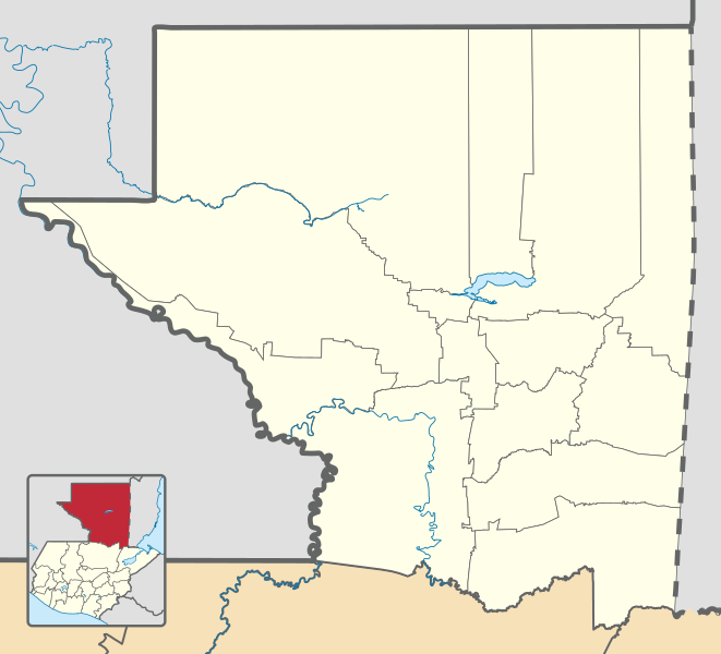
Description: Location map of the Petén department, Guatemala. Equirectangular projection, geographic limits of the map: N: 17°54'23.45"N S: 15°46'2.61"N W: 91°29'45.97"O E: 89° 4'35.36"O
Title: Petén department location map
Credit: Own work based on: Guatemala location map.svg by Spischot. Rivers and lakes from OpenStreetMap by © OpenStreetMap contributors. National, departmental and municipal boundaries from the Infraestructura de Datos Espaciales de Guatemala (IDEG) website, a Guatemalan national geographic information system, whose data is on the public domain according to the Legislative Decree 42-2001 of the Congress of Guatemala.
Author: Derivative work by Edgouno
Usage Terms: Creative Commons Attribution-Share Alike 3.0
License: CC BY-SA 3.0
License Link: https://creativecommons.org/licenses/by-sa/3.0
Attribution Required?: Yes
Usos del archivo
Las siguientes páginas enlazan a este archivo:
- Aguateca
- Altar de los Sacrificios
- Arroyo de Piedra
- Cancuén
- Dolores (Petén)
- El Caoba (caserío)
- El Chal (Petén)
- El Mirador (ciudad maya)
- El Perú (sitio arqueológico)
- El Tintal
- Flores (Petén)
- Ixkún
- La Libertad (Petén)
- Las Cruces (Guatemala)
- Melchor de Mencos
- Nakbé
- Parque regional municipal Actún Kan
- Poptún
- Sacul
- San Andrés (Petén)
- San Benito (Petén)
- San Francisco (Petén)
- San José (Petén)
- San Luis (Petén)
- Santa Ana (Guatemala)
- Santa Elena de la Cruz (Guatemala)
- Sayaxché
- Tayasal
- Tikal
- Topoxté
- Uaxactún
- Ucanal
- Yaxhá
- Zacpetén
- Zapote Bobal
