
Archivo: El Salvador relief location map
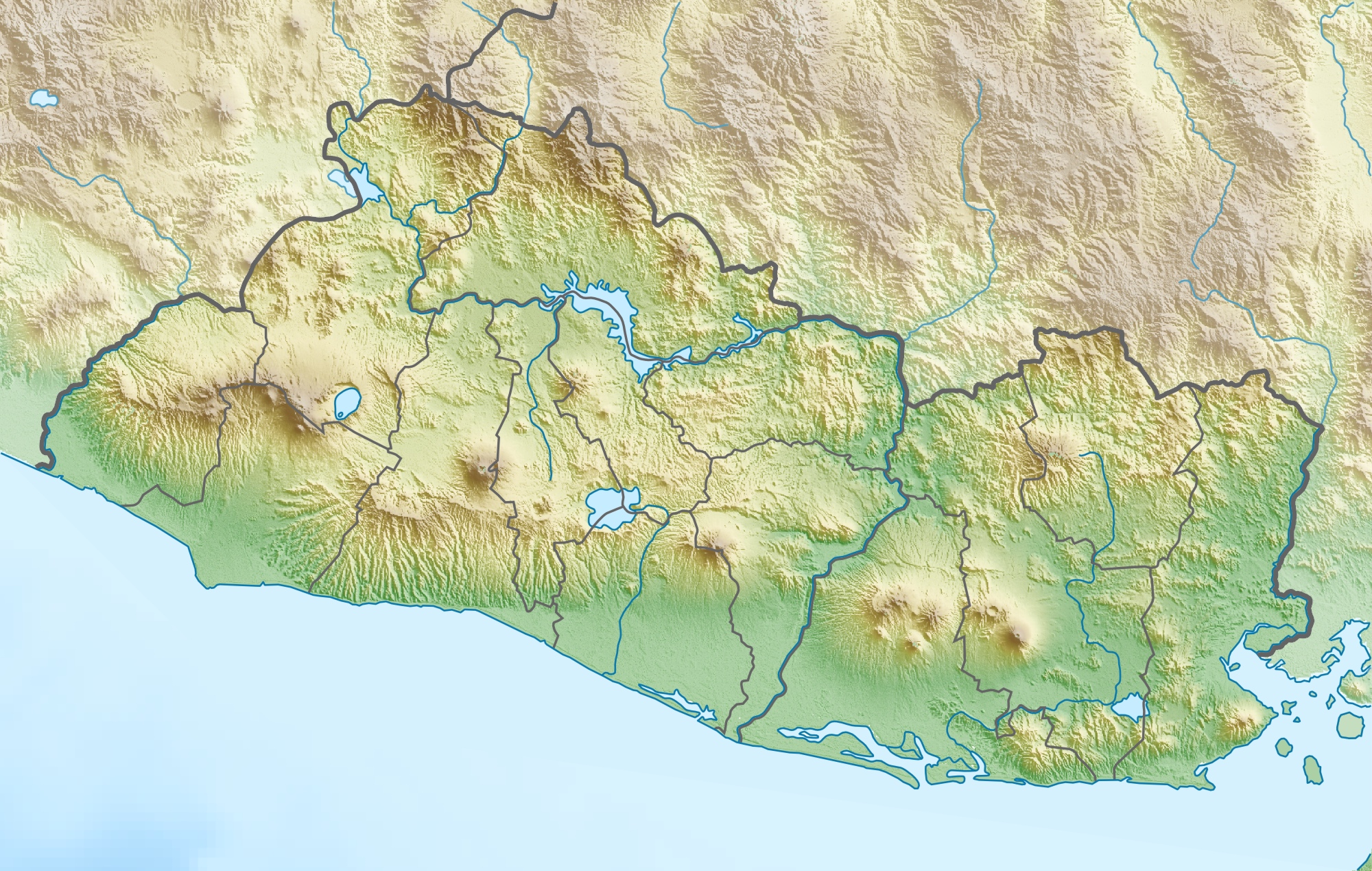
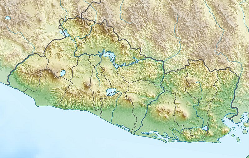
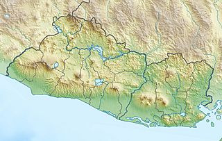
Description: Physical location map of El Salvador
Title: El Salvador relief location map
Credit: Own work, using map data from administrative map by NordNordWest. The relief was created from SRTM-3 relief data
Author: Carport
Permission: This file is licensed under the Creative Commons Attribution-Share Alike 3.0 Unported license. You are free: to share – to copy, distribute and transmit the work to remix – to adapt the work Under the following conditions: attribution – You must give appropriate credit, provide a link to the license, and indicate if changes were made. You may do so in any reasonable manner, but not in any way that suggests the licensor endorses you or your use. share alike – If you remix, transform, or build upon the material, you must distribute your contributions under the same or compatible license as the original. https://creativecommons.org/licenses/by-sa/3.0 CC BY-SA 3.0 Creative Commons Attribution-Share Alike 3.0 truetrue
Usage Terms: Creative Commons Attribution-Share Alike 3.0
License: CC BY-SA 3.0
License Link: https://creativecommons.org/licenses/by-sa/3.0
Attribution Required?: Yes
Usos del archivo
Las siguientes páginas enlazan a este archivo:
- Barra de Santiago
- Bosque San Diego La Barra
- Bosque de Nancuchiname
- Casa Blanca (sitio precolombino)
- Cerro Guazapa
- Cerro San Jacinto
- Cerro Verde (El Salvador)
- Lago Suchitlán
- Lago de Coatepeque
- Lago de Güija
- Lago de Ilopango
- Laguna de Olomega
- Meanguera
- Parque nacional El Imposible
- Parque nacional Los Volcanes
- Parque nacional Montecristo
- Río Sumpul
- Río Torola
- Volcán Ilamatepec
- Volcán Tecapa
- Volcán de Conchagua
- Volcán de Izalco
- Volcán de San Salvador
- Volcán de San Vicente
- Área natural protegida El Boquerón
