
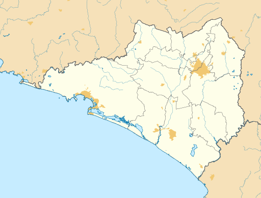
Archivo: Mexico Colima location map (urban areas)

Tamaño de esta previsualización PNG del archivo SVG: 512 × 389 píxeles. Otra resolución: 316 × 240 píxeles.
Archivo original (archivo SVG, nominalmente 512 × 389 píxeles, tamaño de archivo: 781 KB)
Description: Location map of Colima with the urban areas. EPSG:3857 projection, Geographic limits of the map: N: 19.60° N S: 18.60° N W: 104.80° W E: 103.40° W
Title: Mexico Colima location map (urban areas)
Credit: Sources of data: INEGI, Marco Geoestadístico Nacional, 2014. (Free use of the data)
Author: Addicted04
Usage Terms: Creative Commons Attribution-Share Alike 4.0
License: CC BY-SA 4.0
License Link: https://creativecommons.org/licenses/by-sa/4.0
Attribution Required?: Yes
Usos del archivo
Las siguientes páginas enlazan a este archivo:
- Aeropuerto Internacional de Manzanillo
- Anexo:Patrimonio de la Humanidad en México
- Boca de Pascuales
- Camotlán de Miraflores
- Cerro de Ortega
- Chandiablo
- Ciudad de Armería
- Cofradía de Juárez
- Cofradía de Suchitlán
- Colima (Colima)
- Comala
- Coquimatlán
- Cuauhtémoc (Colima)
- El Chavarín (Colima)
- El Colomo
- Ixtlahuacán (Colima)
- La Yerbabuena (Colima)
- Los Tepames
- Madrid (Colima)
- Manzanillo
- Minatitlán (Colima)
- Montitlán
- Pueblo Juárez
- Quesería (Colima)
- Suchitlán (Colima)
- Tecomán
- Villa de Álvarez
- Volcán de Colima
.svg&oldid=2582460)

Todo el contenido de los artículos de la Enciclopedia Kiddle (incluidas las imágenes) se puede utilizar libremente para fines personales y educativos bajo la licencia Atribución-CompartirIgual a menos que se indique lo contrario.
.svg)