
Archivo: Greater London UK location map 2

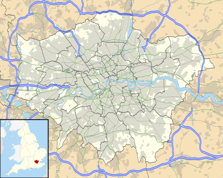
Description: Map of Greater London, UK with the following information shown: Administrative borders Coastline, lakes and rivers Roads and railways Urban areas The data includes both primary routes and railway lines. Equirectangular map projection on WGS 84 datum, with N/S stretched 160% Geographic limits: West: 0.57W East: 0.37E North: 51.72N South: 51.25N
Title: Greater London UK location map 2
Credit: Ordnance Survey OpenData. Administrative borders and coastline data from Boundary-Line product. All other geographic data from Meridian 2 product. Inset derived from England location map.svg by Spischot.
Author: Nilfanion, created using Ordnance Survey data
Permission: This file is licensed under the Creative Commons Attribution-Share Alike 3.0 Unported license. Attribution: Contains Ordnance Survey data © Crown copyright and database right You are free: to share – to copy, distribute and transmit the work to remix – to adapt the work Under the following conditions: attribution – You must attribute the work in the manner specified by the author or licensor (but not in any way that suggests that they endorse you or your use of the work). share alike – If you alter, transform, or build upon this work, you may distribute the resulting work only under the same or similar license to this one. http://creativecommons.org/licenses/by-sa/3.0 CC BY-SA 3.0 Creative Commons Attribution-Share Alike 3.0 truetrue
Usage Terms: Creative Commons Attribution-Share Alike 3.0
License: CC BY-SA 3.0
License Link: http://creativecommons.org/licenses/by-sa/3.0
Attribution Required?: Yes
Usos del archivo
Hay más de 100 páginas que enlazan con este archivo. La lista siguiente sólo muestra las primeras 100 páginas que enlazan con este archivo. También puedes consultar la lista completa.
- Acton (Londres)
- Aeropuerto de Londres-Heathrow
- Albert Memorial
- Aldgate
- Balham (Londres)
- Barking
- Barrio de Ealing (Londres)
- Belgravia
- Bermondsey
- Blackfriars
- Blackwall
- Bloomsbury
- Bow (Londres)
- Brixton
- Broadwater Farm
- Bromley (municipio)
- Camden (Londres)
- Catedral de San Jorge (Southwark)
- Catedral de la Sagrada Familia (Londres)
- Charlton (Londres)
- Cheam
- Chelsea (Londres)
- Chiswick House
- Clapham
- Clerkenwell
- Copa Mundial de Fútbol de 1966
- Coulsdon
- Cricklewood
- Crystal Palace (Londres)
- Dagenham
- Deptford
- Dulwich
- Edgware
- Feltham
- Finsbury
- Golders Green
- Greenford
- Guildhall
- Hackney
- Haggerston
- Hammersmith
- Hampstead (Londres)
- Haringey
- Havering
- Hendon
- Hillingdon (Distrito londinense)
- Holborn
- Holloway (Londres)
- Hoxton
- Ilford
- Isleworth
- Kensington
- Kensington y Chelsea
- Kilburn (Londres)
- Kingston upon Thames
- Knightsbridge
- Lambeth
- Lewisham
- Leyton
- Limehouse
- Maida Vale
- Marylebone
- Mitcham
- Morden
- Municipio de Croydon (Londres)
- Municipio de Ealing (Londres)
- Municipio de Greenwich (Londres)
- Municipio de Harrow (Londres)
- Municipio de Hounslow
- Municipio de Islington (Londres)
- Municipio de Lewisham (Londres)
- Municipio de Redbridge (Londres)
- Municipio de Southwark (Londres)
- Municipio de Sutton (Londres)
- Museo Marítimo Nacional (Reino Unido)
- Museo de Ciencias de Londres
- Newham
- Newington (Londres)
- Notting Hill
- Pentonville
- Pimlico
- Plumstead
- Poplar (Londres)
- Primrose Hill
- Putney
- Richmond upon Thames
- Romford
- Ruislip
- Shepherd's Bush
- Shoreditch
- Somers Town
- Southall
- St John's Wood
- St Pancras
- Stanmore
- Stepney
- Stockwell
- Stoke Newington
- Streatham
- Surbiton
