
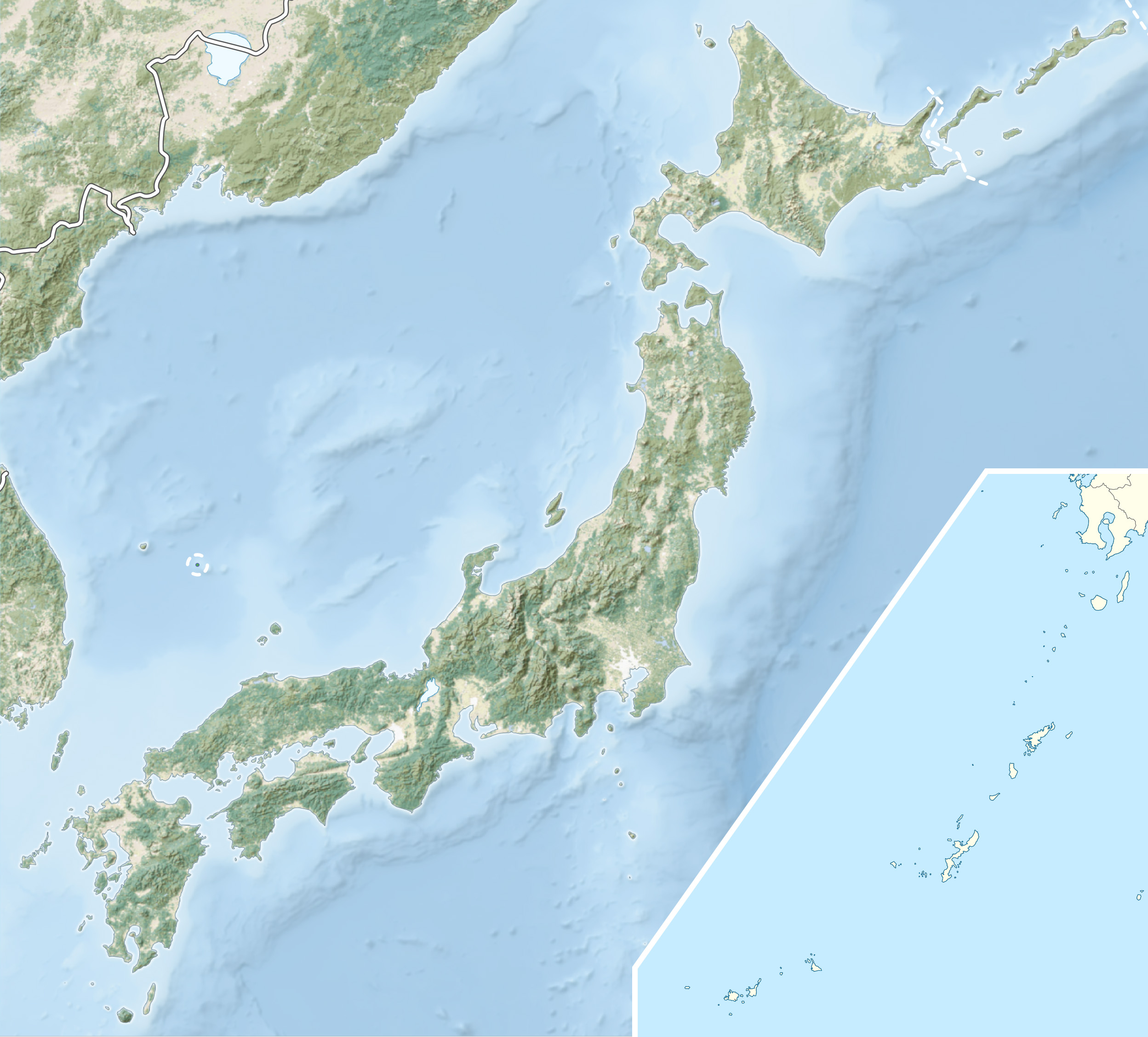
Archivo: Japan natural location map with side map of the Ryukyu Islands
Description: Natural Location map of Japan Equirectangular projection. Geographic limits to locate objects in the main map with the main islands: N: 45°51'37" N (45.86°N) S: 30°01'13" N (30.02°N) W: 128°14'24" E (128.24°E) E: 149°16'13" E (149.27°E) Geographic limits to locate objects in the side map with the Ryukyu Islands: N: 39°32'25" N (39.54°N) S: 23°42'36" N (23.71°N) W: 110°25'49" E (110.43°E) E: 131°26'25" E (131.44°E)
Title: Japan natural location map with side map of the Ryukyu Islands
Credit: File:Japan location map with side map of the Ryukyu Islands.svg, (Chumwa) AVHRR Land Cover SRTM Data, ETOPO1
Author: Alexrk2
Permission: This file is licensed under the Creative Commons Attribution-Share Alike 3.0 Unported license. You are free: to share – to copy, distribute and transmit the work to remix – to adapt the work Under the following conditions: attribution – You must attribute the work in the manner specified by the author or licensor (but not in any way that suggests that they endorse you or your use of the work). share alike – If you alter, transform, or build upon this work, you may distribute the resulting work only under the same or similar license to this one. http://creativecommons.org/licenses/by-sa/3.0 CC BY-SA 3.0 Creative Commons Attribution-Share Alike 3.0 truetrue
Usage Terms: Creative Commons Attribution-Share Alike 3.0
License: CC BY-SA 3.0
License Link: http://creativecommons.org/licenses/by-sa/3.0
Attribution Required?: Yes
Usos del archivo
Las siguientes páginas enlazan a este archivo:
