
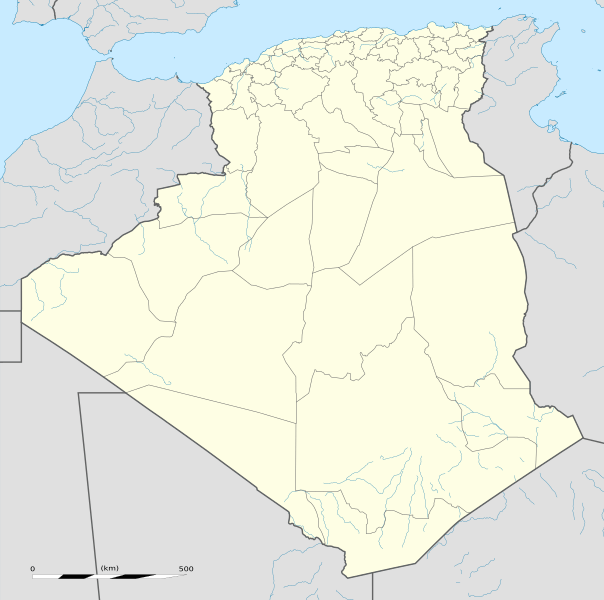
Archivo: Algeria location map

Description: Blank administrative map of Algeria, for geo-location purposes.
Title: Algeria location map
Credit: Own work Sources of data: NGDC World Data Bank II (public domain); NGDC GSHHS (public domain); Reference for the boundaries: SGIIAR (Système de Gestion Intégré de l'Information Agricole et Rurale of Algeria).
Author: Eric Gaba (Sting - fr:Sting)
Permission: Attribution and Share-Alike required Any use of this map can be made as long as you credit me (Eric Gaba – Wikimedia Commons user: Sting) as the author and distribute the copies and derivative works under the same license(s) that the one(s) stated below. A message with a reply address would also be greatly appreciated.
Usage Terms: Creative Commons Attribution-Share Alike 3.0
License: CC BY-SA 3.0
License Link: http://creativecommons.org/licenses/by-sa/3.0
Attribution Required?: Yes
Usos del archivo
Las siguientes páginas enlazan a este archivo:
