
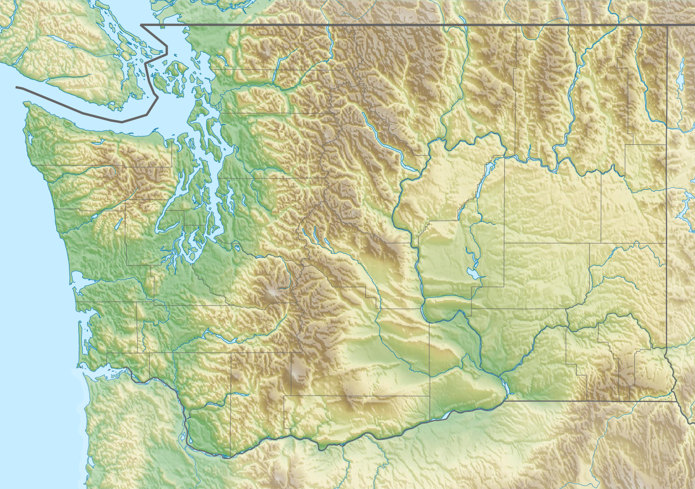
Archivo: USA Washington relief location map
Description: Physical location map of Washington, USA
Title: USA Washington relief location map
Credit: Own work, using File:USA Washington location map.svg by Alexrk2. STRM-30 data for the relief
Author: Carport
Permission: This file is licensed under the Creative Commons Attribution-Share Alike 3.0 Unported license. You are free: to share – to copy, distribute and transmit the work to remix – to adapt the work Under the following conditions: attribution – You must give appropriate credit, provide a link to the license, and indicate if changes were made. You may do so in any reasonable manner, but not in any way that suggests the licensor endorses you or your use. share alike – If you remix, transform, or build upon the material, you must distribute your contributions under the same or compatible license as the original. https://creativecommons.org/licenses/by-sa/3.0 CC BY-SA 3.0 Creative Commons Attribution-Share Alike 3.0 truetrue
Usage Terms: Creative Commons Attribution-Share Alike 3.0
License: CC BY-SA 3.0
License Link: https://creativecommons.org/licenses/by-sa/3.0
Attribution Required?: Yes
Usos del archivo
Las siguientes páginas enlazan a este archivo:
- Brecha de Wallula
- Catarata Palouse
- Depresión de Georgia
- Estrecho Rosario
- Estrecho de Puget
- Estrecho de Tacoma
- Juanita Creek
- Lago Chelan
- Lago Crescent
- Lago Sammamish
- Lago Washington
- Montaña Chiwawa
- Montaña Coronel Bob
- Montañas Olímpicas
- Monte Adams
- Monte Baker (Estados Unidos)
- Monte Olympus (Washington)
- Monte Rainier
- Monte Santa Helena
- Monte Spokane (Washington)
- Mount Teneriffe (Washington)
- Península Olímpica
- Península de Kitsap
- Pico Glacier
- Río Chiwawa
- Río Cowlitz
- Río Lyre
- Río Sammamish
- Área salvaje Tatoosh
