
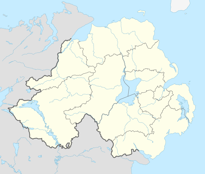
Archivo: United Kingdom Northern Ireland adm location map

Tamaño de esta previsualización PNG del archivo SVG: 706 × 600 píxeles. Otra resolución: 283 × 240 píxeles.
Archivo original (archivo SVG, nominalmente 1208 × 1026 píxeles, tamaño de archivo: 163 KB)
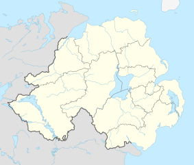
Description: Location map of Northern Ireland, United Kingdom
Title: United Kingdom Northern Ireland adm location map
Credit: Own work using: United States National Imagery and Mapping Agency data
Author: NordNordWest
Usage Terms: Creative Commons Attribution-Share Alike 3.0 de
License: CC BY-SA 3.0 de
License Link: https://creativecommons.org/licenses/by-sa/3.0/de/deed.en
Attribution Required?: Yes
Usos del archivo
Las siguientes páginas enlazan a este archivo:
- Abadía de Bangor
- Abadía de Movilla
- Aeropuerto Internacional de Belfast
- Ahoghill
- Antrim
- Ardmore (Derry y Strabane)
- Armagh
- Balloo
- Ballyclare
- Ballykelly
- Ballymena
- Ballymoney
- Ballynahinch
- Ballyrory
- Bangor (Irlanda del Norte)
- Belfast
- Bellarena
- Beragh
- Bessbrook
- Bleary
- Burnfoot (Irlanda del Norte)
- Carrickfergus
- Carrickmore
- Carryduff
- Castillo de Ballygally
- Castillo de Hillsborough
- CastleCourt
- Castlederg
- Castlerock
- Clady
- Coagh
- Coalisland
- Coleraine
- Comber (Ards y Down Norte)
- Cookstown
- Crawfordsbur
- Creggan
- Crumlin (Irlanda del Norte)
- Curran (Mid Úlster)
- Cushendall
- Derry
- Donaghadee
- Dooish
- Downpatrick
- Drummullan
- Dungannon (Irlanda del Norte)
- Dungiven
- Eglinton
- Enniskillen
- Glenarm
- Greenisland
- Helen's Bay
- Hillsborough and Culcavy
- Hilltown
- Kilkeel
- Kircubbin
- Kirkistown
- Knockcloghrim
- Limavady
- Lisburn
- Lisnaskea
- Lurgan
- Maghera
- Magherafelt
- Markethill
- Mill Bay
- Millisle
- Moira (Down)
- Monasterio de Clonard
- Moneymore
- Mount Stewart
- Moy
- Newcastle (Newry, Mourne y Down)
- Newry (Irlanda del Norte)
- Newtownabbey
- Newtownards
- Omagh
- Park (Irlanda del Norte)
- Portballintrae
- Portrush
- Portstewart
- Randalstown
- Rostrevor
- Seahill
- Stewartstown
- Straw (Mid Úlster)
- Tamlaght (Mid Úlster)
- Tandragee
- Templo de Mussenden
- Tobermore
- Toome
- Torre de Drumbo
- Tynan
- Warrenpoint
- Whitehead (Antrim)
- Whiterock

Todo el contenido de los artículos de la Enciclopedia Kiddle (incluidas las imágenes) se puede utilizar libremente para fines personales y educativos bajo la licencia Atribución-CompartirIgual a menos que se indique lo contrario.