
Archivo: World-airline-routemap-2009
Tamaño de esta previsualización: 800 × 400 píxeles. Otras resoluciones: 320 × 160 píxeles | 2048 × 1025 píxeles.
Archivo original (2048 × 1025 píxeles; tamaño de archivo: 2,43 MB; tipo MIME: image/png)
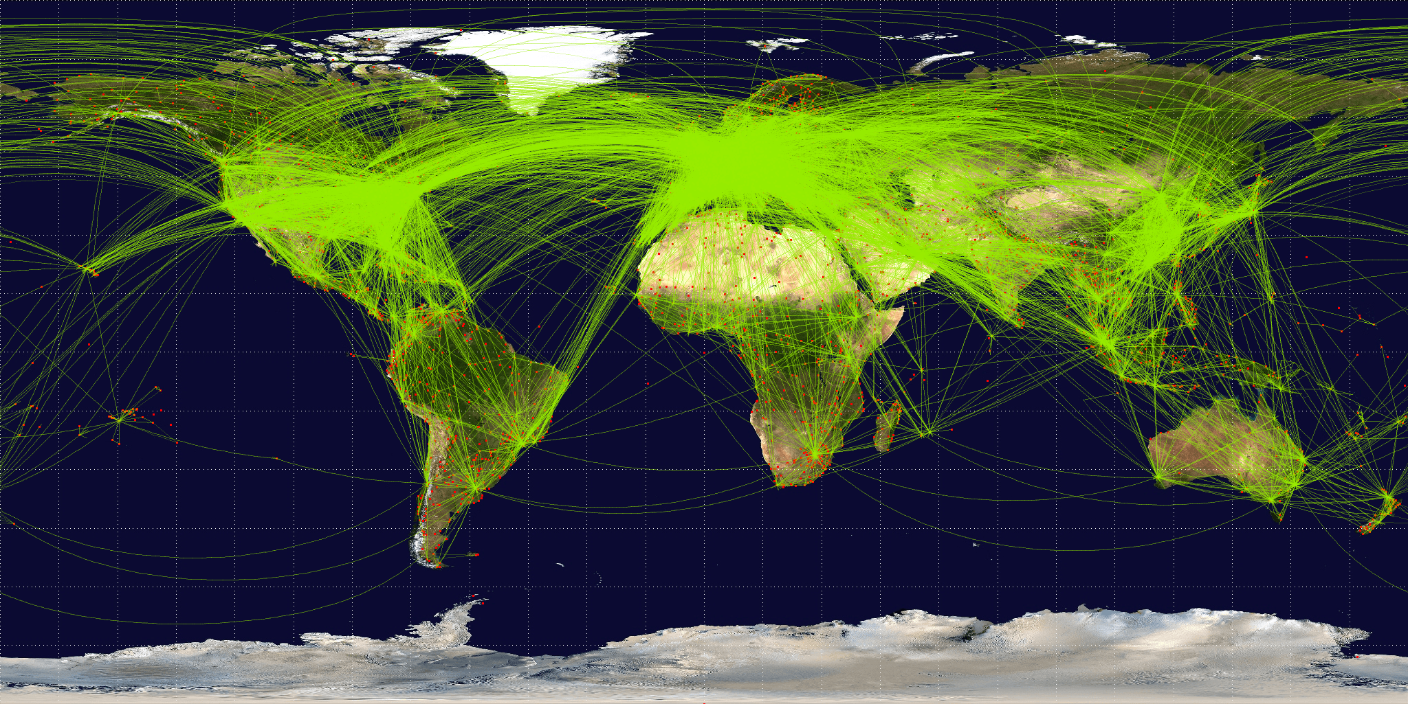
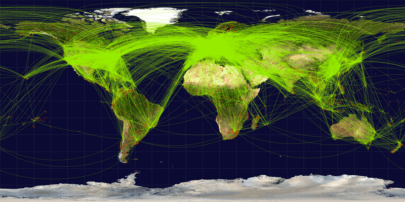
Description: Map of scheduled airline traffic around the world, circa June 2009. Contains 54317 routes, rendered at 25% transparency. Base map is NASA Blue Marble (PD) plus airports from file:World-airport-map-2008.png, route data is from Airline Route Mapper, rendering by OpenFlights (Open Database License). PHP source code for rendering available at the OpenFlights SVN.
Title: World-airline-routemap-2009
Credit: Own work
Author: Jpatokal
Usage Terms: Creative Commons Attribution-Share Alike 3.0
License: CC BY-SA 3.0
License Link: http://creativecommons.org/licenses/by-sa/3.0
Attribution Required?: Yes
Usos del archivo
Las siguientes páginas enlazan a este archivo:

Todo el contenido de los artículos de la Enciclopedia Kiddle (incluidas las imágenes) se puede utilizar libremente para fines personales y educativos bajo la licencia Atribución-CompartirIgual a menos que se indique lo contrario.