
Archivo: Vista Aérea de Guelatao 02

Tamaño de esta previsualización: 800 × 533 píxeles. Otras resoluciones: 320 × 213 píxeles | 5464 × 3640 píxeles.
Archivo original (5464 × 3640 píxeles; tamaño de archivo: 11,12 MB; tipo MIME: image/png)
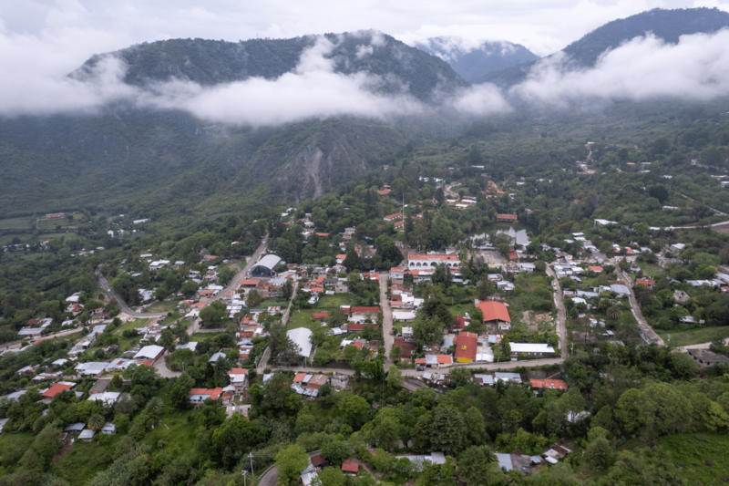
Descripción: The image shows the town of Guelatao de Juarez, Oaxaca, on a cloudy Saturday morning. It was taken from the proximities of the nearby Polideportivo "Benito Juarez" gym, using a DJI Air 2S drone. To the left of the image one can see the 175 federal highway that connects Oaxaca with Tuxtepec. Towards the center one can see the town hall and the lagoon.
Título: Vista Aérea de Guelatao 02
Créditos: Trabajo propio
Autor(a): Pablo.riosc
Términos de Uso: Creative Commons Zero, Public Domain Dedication
Licencia: CC0
Enlace de Licencia: http://creativecommons.org/publicdomain/zero/1.0/deed.en
¿Se exige la atribución?: No
Usos del archivo
La siguiente página enlaza a este archivo:

Todo el contenido de los artículos de la Enciclopedia Kiddle (incluidas las imágenes) se puede utilizar libremente para fines personales y educativos bajo la licencia Atribución-CompartirIgual a menos que se indique lo contrario.