
Archivo: Stlouistreatymap1804
Tamaño de esta previsualización: 470 × 600 píxeles. Otras resoluciones: 188 × 240 píxeles | 1000 × 1276 píxeles.
Archivo original (1000 × 1276 píxeles; tamaño de archivo: 312 KB; tipo MIME: image/png)
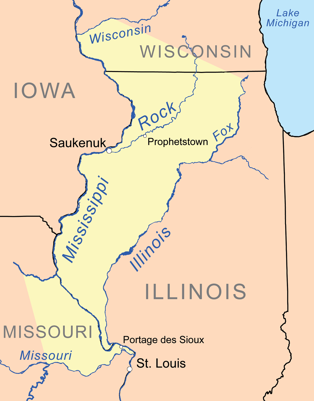
Description: Map showing lands ceded in the 1804 Treaty of St. Louis in yellow.
Title: Stlouistreatymap1804
Credit: Own work, background features are from the National Atlas. Cession border is based on treaty text with Library of Congress maps used as reference.
Author: Kmusser
Usage Terms: Creative Commons Attribution-Share Alike 3.0
License: CC BY-SA 3.0
License Link: http://creativecommons.org/licenses/by-sa/3.0
Attribution Required?: Yes
Usos del archivo
La siguiente página enlaza a este archivo:

Todo el contenido de los artículos de la Enciclopedia Kiddle (incluidas las imágenes) se puede utilizar libremente para fines personales y educativos bajo la licencia Atribución-CompartirIgual a menos que se indique lo contrario.