
Archivo: Southern oregon cascades map
No disponible en mayor resolución.
Southern_oregon_cascades_map.png (593 × 557 píxeles; tamaño de archivo: 24 KB; tipo MIME: image/png)
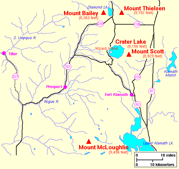
Description: United States Geological Survey map of the southern Oregon Cascades.
Title: Southern oregon cascades map
Credit: Archived source link
Author: Lyn Topinka, USGS
Permission: This image is in the public domain in the United States because it only contains materials that originally came from the United States Geological Survey, an agency of the United States Department of the Interior. For more information, see the official USGS copyright policy.
Usage Terms: Public domain
License: Public domain
Attribution Required?: No
Usos del archivo
La siguiente página enlaza a este archivo:

Todo el contenido de los artículos de la Enciclopedia Kiddle (incluidas las imágenes) se puede utilizar libremente para fines personales y educativos bajo la licencia Atribución-CompartirIgual a menos que se indique lo contrario.