
Archivo: Sinai-peninsula-map
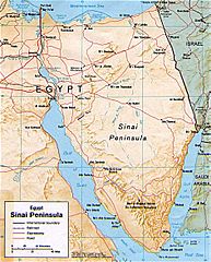
Tamaño de esta previsualización: 483 × 600 píxeles. Otras resoluciones: 193 × 240 píxeles | 941 × 1168 píxeles.
Archivo original (941 × 1168 píxeles; tamaño de archivo: 665 KB; tipo MIME: image/jpeg)
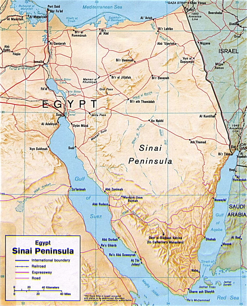
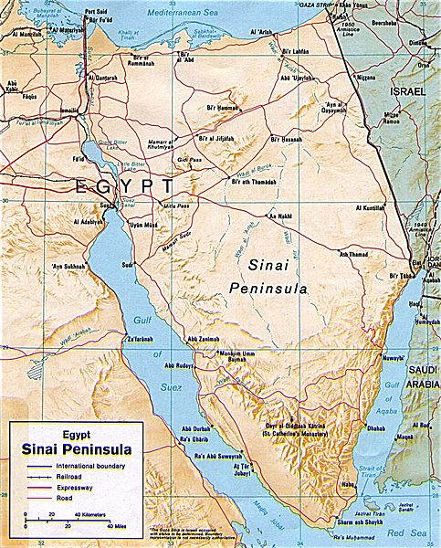
Description: Shaded relief map of the Sinai Peninsula, 1992, produced by the U.S. Central Intelligence Agency.
Title: Sinai-peninsula-map
Credit: University of Texas Libraries, Perry-Castañeda Library Map Collection: Egypt Maps This image is a copy or a derivative work of sinai.jpg, from the map collection of the Perry-Castañeda Library (PCL) of the University of Texas at Austin. This tag does not indicate the copyright status of the attached work. A normal copyright tag is still required. See Commons:Licensing for more information.
Author: CIA
Usage Terms: Public domain
License: Public domain
Attribution Required?: No
Usos del archivo
Las siguientes páginas enlazan a este archivo:

Todo el contenido de los artículos de la Enciclopedia Kiddle (incluidas las imágenes) se puede utilizar libremente para fines personales y educativos bajo la licencia Atribución-CompartirIgual a menos que se indique lo contrario.