
Archivo: Scotland map-fr

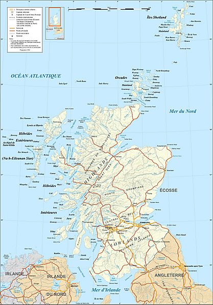
Descripción: Map in French of Scotland This is a lighter raster JPG format version of Image:Scotland_map-fr.svg which should be used in the article pages, the vector graphics version purpose being for modification and / or translation.
Título: Scotland map-fr
Créditos: Own work ; Shore / lakes contours and shaded relief : NASA Shuttle Radar Topography Mission (SRTM3 v.2) data (public domain); Additional data: VMap-0; Reference used for confirmation for the additional data : ViaMichelin; Locator map : composition of Image:British_Isles_Northern_Ireland.svg, Image:British_Isles_Scotland.svg and Image:British_Isles_Wales.svg (modified) created by Cnbrb under PD
Autor(a): Eric Gaba (Sting - fr:Sting)
Permiso: Attribution and Share-Alike required Any use of this map can be made as long as you credit me (Eric Gaba – Wikimedia Commons user: Sting) as the author and distribute the copies and derivative works under the same license(s) that the one(s) stated below. A message with a reply address would also be greatly appreciated.
Términos de Uso: Creative Commons Attribution-Share Alike 4.0
Licencia: CC BY-SA 4.0
Enlace de Licencia: https://creativecommons.org/licenses/by-sa/4.0
¿Se exige la atribución?: Sí
Usos del archivo
Las siguientes páginas enlazan a este archivo:
