
Archivo: Satellite image of New Zealand in December 2002

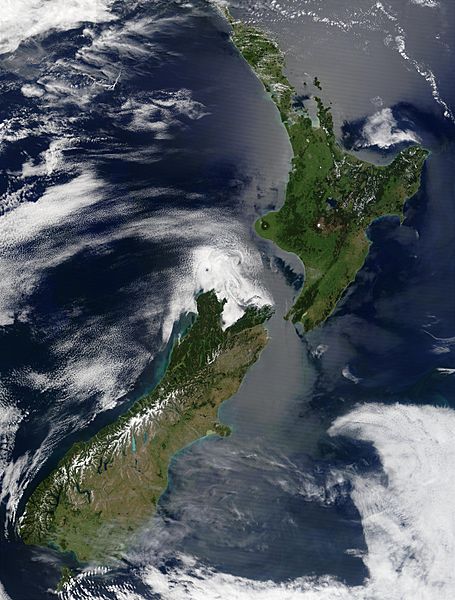
Description: Satellite image of New Zealand in December 2002. NASA's description: These stunning true-color images provide a rare, cloud-free look at the island nation of New Zealand, including most of its North and South Islands. This scene was acquired by the Moderate Resolution Imaging Spectroradiometer (MODIS), flying aboard NASA’s Terra satellite, on October 23, and December 31, 2002. New Zealand is situated in the South Pacific Ocean, roughly 2,000 km (1,250 miles) southeast of Australia. Wellington, the capital of New Zealand, is located on the southern tip of the North Island, looking across Cook Strait toward South Island.
Title: Satellite image of New Zealand in December 2002
Credit: Taken from NASA's Visible Earth: [1]
Author: Unknown
Usage Terms: Public domain
License: Public domain
Attribution Required?: No
Usos del archivo
La siguiente página enlaza a este archivo:
