
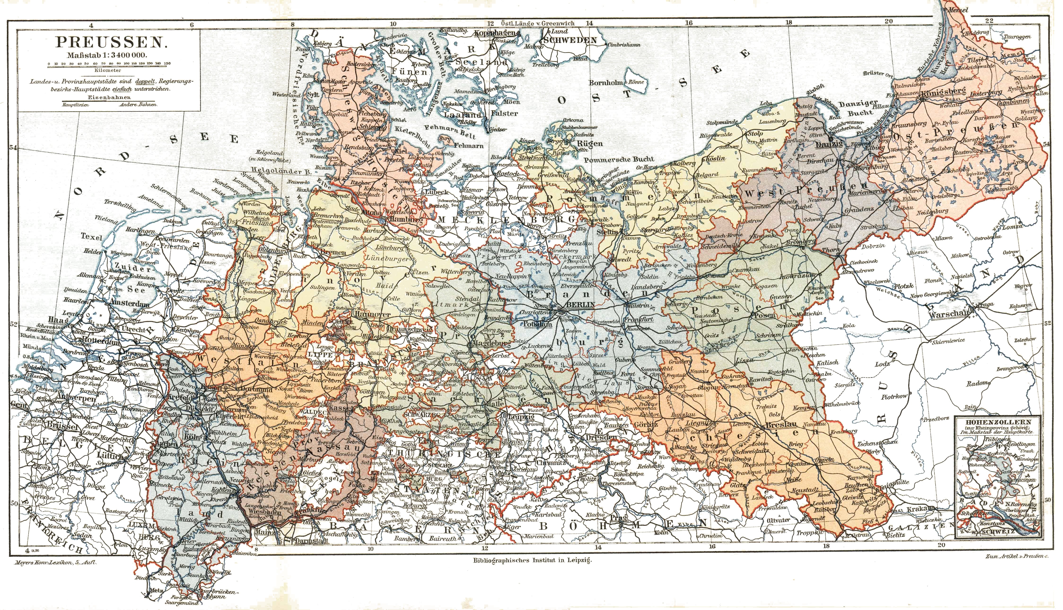
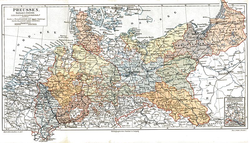
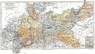
Archivo: Prussia (political map before 1905)
Tamaño de esta previsualización: 800 × 459 píxeles. Otras resoluciones: 320 × 184 píxeles | 4495 × 2580 píxeles.
Archivo original (4495 × 2580 píxeles; tamaño de archivo: 2,31 MB; tipo MIME: image/jpeg)
Description: Kingdom of Prussia and its provinces around 1900
Title: Prussia (political map before 1905)
Credit: Meyers Konversationslexikon, 5. Auflage
Permission: This image comes from the 5th edition of Meyers Konversationslexikon (1893-97). The copyrights have expired and this image is in the public domain. This work was published before January 1, 1923 and it is anonymous or pseudonymous due to unknown authorship. It is in the public domain in the United States as well as countries and areas where the copyright terms of anonymous or pseudonymous works are 94 years or less since publication.
Usage Terms: Public domain
License: Public domain
Attribution Required?: No
Usos del archivo
La siguiente página enlaza a este archivo:
.jpg&oldid=575894)

Todo el contenido de los artículos de la Enciclopedia Kiddle (incluidas las imágenes) se puede utilizar libremente para fines personales y educativos bajo la licencia Atribución-CompartirIgual a menos que se indique lo contrario.
.jpg)