
Archivo: Pioneer Valley South From Mt. Sugarloaf
Tamaño de esta previsualización: 800 × 600 píxeles. Otras resoluciones: 320 × 240 píxeles | 2272 × 1704 píxeles.
Archivo original (2272 × 1704 píxeles; tamaño de archivo: 808 KB; tipo MIME: image/jpeg)
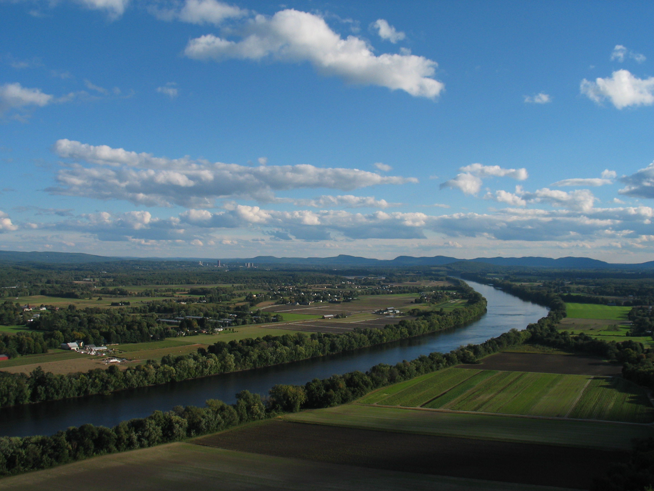
Description: The Connecticut River and Pioneer Valley of Massachusetts. Looking south from Mt. Sugarloaf in Deerfield, toward the towns of Sunderland, Amherst and Whately. The buildings of the University of Massachusetts Amherst can be seen in the distance to the left, and farther off, the Holyoke range of mountains.
Title: Pioneer Valley South From Mt. Sugarloaf
Credit: Transferred from en.wikipedia to Commons.
Author: The original uploader was BenFrantzDale at English Wikipedia
Usage Terms: Creative Commons Attribution-Share Alike 3.0
License: CC-BY-SA-3.0
License Link: http://creativecommons.org/licenses/by-sa/3.0/
Attribution Required?: Yes
Usos del archivo
Las siguientes páginas enlazan a este archivo:

Todo el contenido de los artículos de la Enciclopedia Kiddle (incluidas las imágenes) se puede utilizar libremente para fines personales y educativos bajo la licencia Atribución-CompartirIgual a menos que se indique lo contrario.