
Archivo: Peloponnese map shaded relief-blank

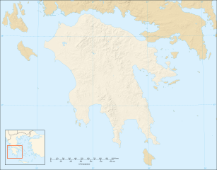
Description: Blank map with shaded relief of the Peloponnese peninsula, Greece Note : The limit of the Peloponnesian peninsula shown follows the Corinth Canal.
Title: Peloponnese map shaded relief-blank
Credit: Own work ; Shaded relief background map (composite image of N-W, W and N lightning positions): NASA Shuttle Radar Topography Mission (SRTM3 v.2) (public domain) edited with 3DEM; Locator map: Image:Map_Greece_expansion_1832-1947-fr.svg (modified) created by Historicair
Author: Eric Gaba (Sting - fr:Sting)
Permission: Attribution and Share-Alike required Any use of this map can be made as long as you credit me (Eric Gaba – Wikimedia Commons user: Sting) as the author, User:Historicair for the locator map, and distribute the copies and derivative works under the same license(s) that the one(s) stated below. A message with a reply address would also be greatly appreciated.
Usage Terms: Creative Commons Attribution-Share Alike 3.0
License: CC BY-SA 3.0
License Link: https://creativecommons.org/licenses/by-sa/3.0
Attribution Required?: Yes
Usos del archivo
