
Archivo: PIA01538 Complex Geologic History of Triton
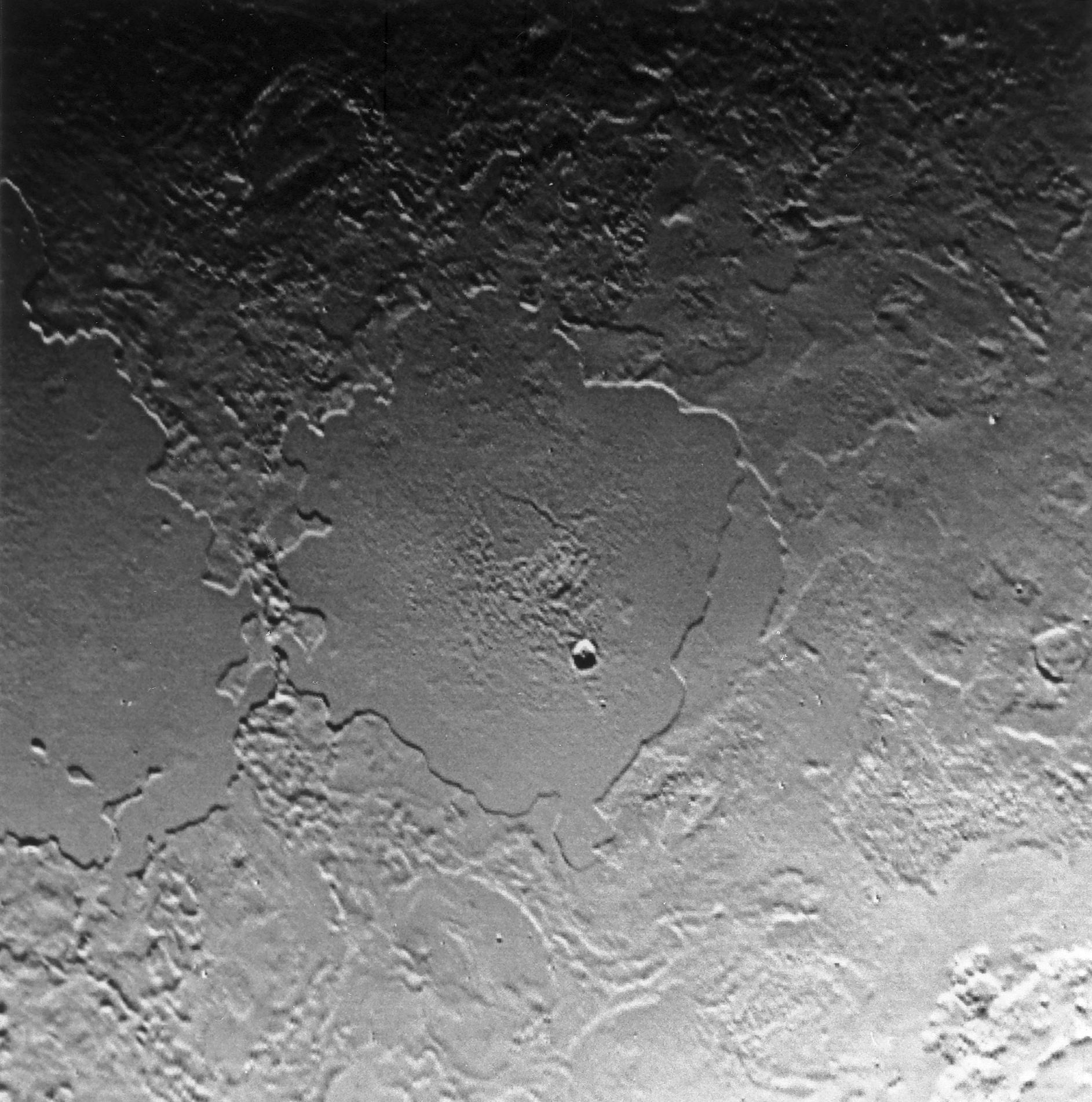
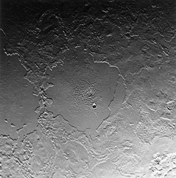
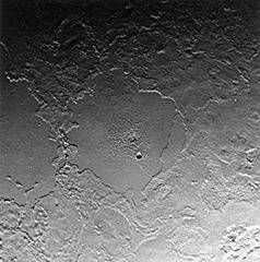
Description: NASA's original caption: "Part of the complex geologic history of icy Triton, Neptune's largest satellite, is shown in this Voyager 2 photo, which has a resolution of 900 meters (2,700 feet) per picture element. The photo was received as part of a Triton-mapping sequence between 3:30 and 5:30 a.m. (PDT). This view is about 500 kilometers (300 miles) across. It encompasses two depressions, possibly old impact basins, that have been extensively modified by flooding, melting, faulting, and collapse. Several episodes of filling and partial removal of material appear to have occurred. The rough area in the middle of the bottom depression probably marks the most recent eruption of material. Only a few impact craters dot the area, which shows the dominance of internally driven geologic processes on Triton." The image shows two of Triton's cryovolcanic "walled plains", Tuonela Planitia (left) and Ruach Planitia (center). It should be noted that this NASA image is inconsistent with maps of Triton and other NASA images, such as 1 and 2, and thus must be incorrectly portrayed (reversed in the vertical dimension).
Title: PIA01538 Complex Geologic History of Triton
Credit: http://photojournal.jpl.nasa.gov/catalog/PIA01538
Author: NASA / JPL
Usage Terms: Public domain
License: Public domain
Attribution Required?: No
Usos del archivo
La siguiente página enlaza a este archivo:
