
Archivo: Nfldmap
No disponible en mayor resolución.
Nfldmap.gif (498 × 549 píxeles; tamaño de archivo: 15 KB; tipo MIME: image/gif)
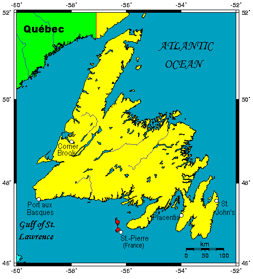
Description: A map showing the Island of Newfoundland in the Canadian province of Newfoundland and Labrador.
Title: Nfldmap
Credit: This map's source is here, with the uploader's modifications, and the GMT homepage says that the tools are released under the GNU General Public License.
Author: Kelisi at en.wikipedia
Usage Terms: Creative Commons Attribution-Share Alike 3.0
License: CC-BY-SA-3.0
License Link: http://creativecommons.org/licenses/by-sa/3.0/
Attribution Required?: Yes
Usos del archivo
La siguiente página enlaza a este archivo:

Todo el contenido de los artículos de la Enciclopedia Kiddle (incluidas las imágenes) se puede utilizar libremente para fines personales y educativos bajo la licencia Atribución-CompartirIgual a menos que se indique lo contrario.