
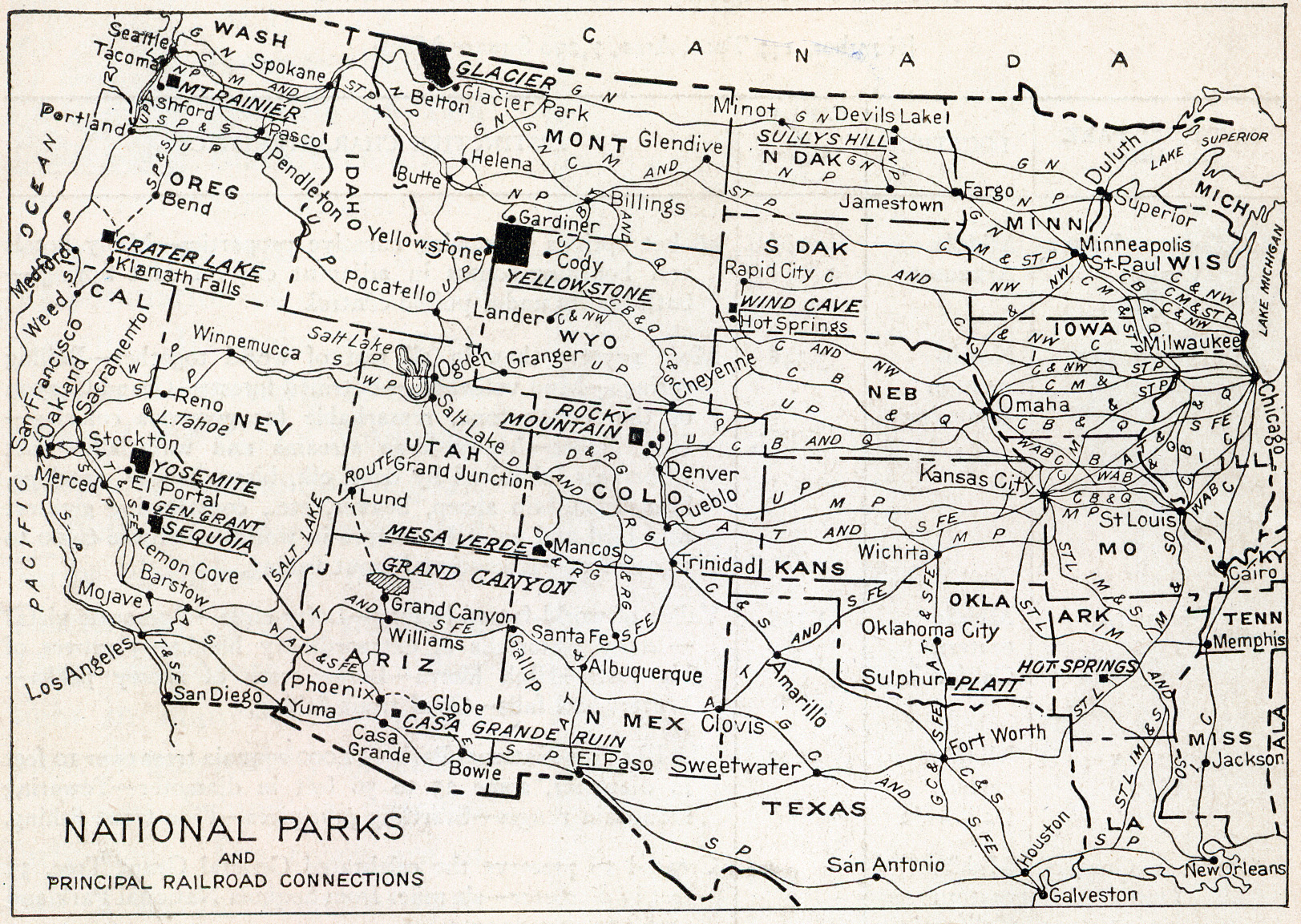
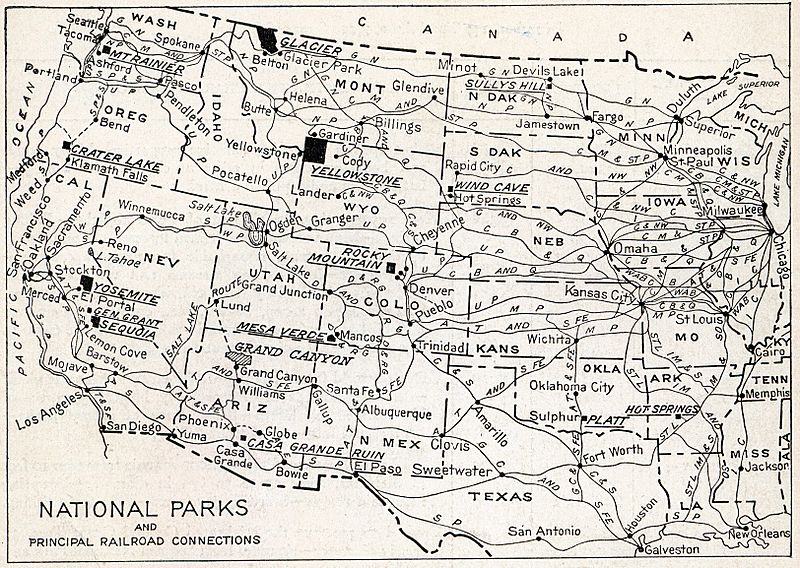
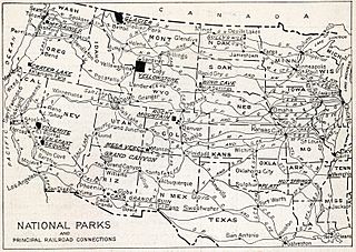
Archivo: Natlparks and RRs 1916
Tamaño de esta previsualización: 800 × 568 píxeles. Otras resoluciones: 320 × 227 píxeles | 1623 × 1153 píxeles.
Archivo original (1623 × 1153 píxeles; tamaño de archivo: 1,18 MB; tipo MIME: image/jpeg)
Description: The map shows the location of all the National Parks and their principal railroad connections as of 1916.
Title: Natlparks and RRs 1916
Credit: National Parks Portfolio, 1916
Author: Department of the Interior, Franklin K. Lane, Secretary
Permission: This image is a work of the United States Department of the Interior, taken or made as part of that person's official duties. As a work of the U.S. federal government, the image is in the public domain.
Usage Terms: Public domain
License: Public domain
Attribution Required?: No
Usos del archivo
La siguiente página enlaza a este archivo:

Todo el contenido de los artículos de la Enciclopedia Kiddle (incluidas las imágenes) se puede utilizar libremente para fines personales y educativos bajo la licencia Atribución-CompartirIgual a menos que se indique lo contrario.