
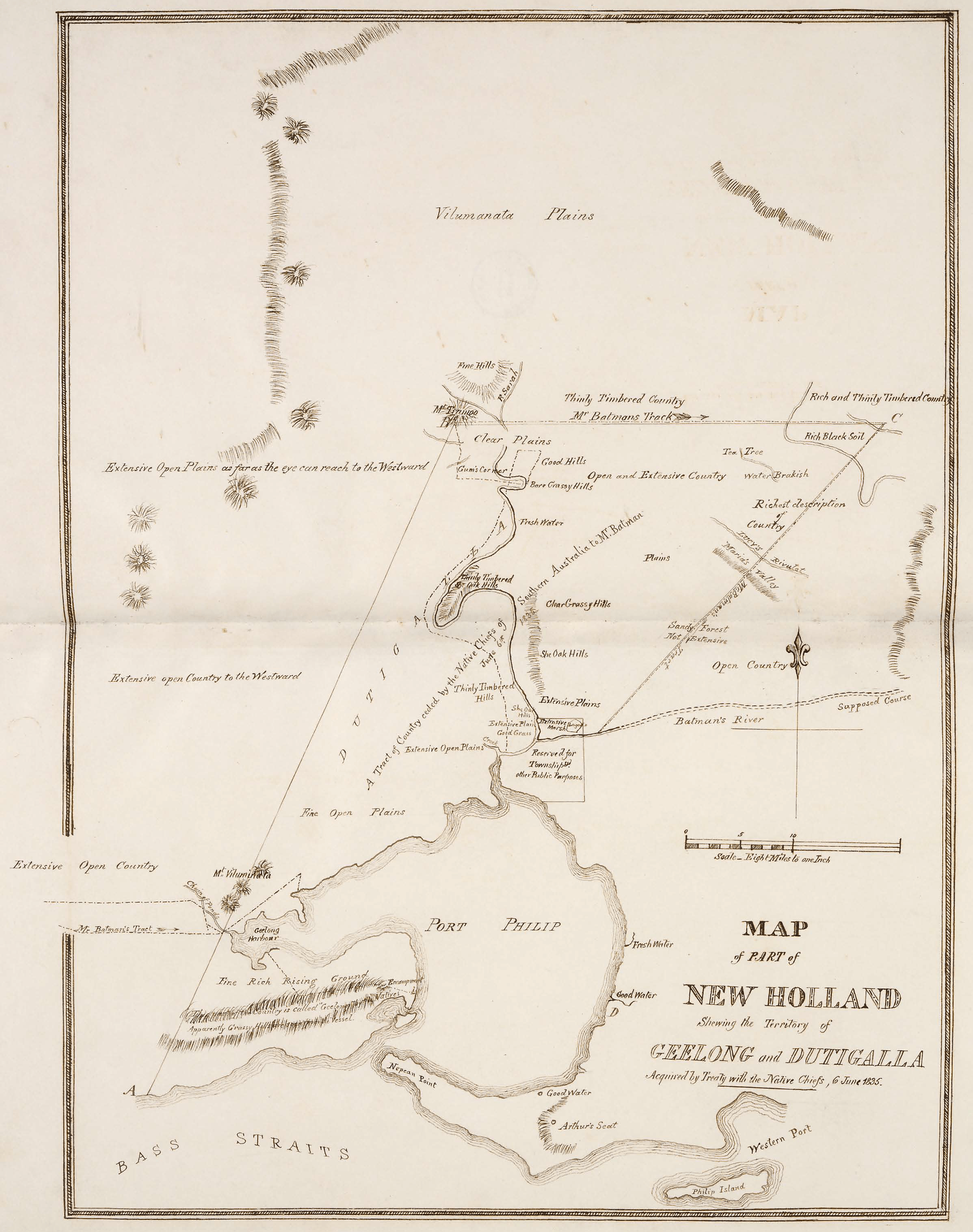
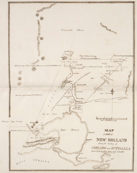
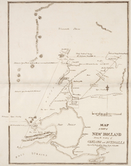
Archivo: Map of part of New Holland showing the territory of Geelong and Dutigalla
Tamaño de esta previsualización: 473 × 599 píxeles. Otras resoluciones: 189 × 240 píxeles | 2396 × 3033 píxeles.
Archivo original (2396 × 3033 píxeles; tamaño de archivo: 5,32 MB; tipo MIME: image/png)
Description: This is a map of the area which is now Melbourne and the Port Philip Bay in Australia, including the northerly Hinterland. The original map caption reads "MAP of PART of NEW HOLLAND Showing the Territory of GEELONG and DUTIGALLA Acquired by Treaty with the Native Chiefs, 6 June 1835." Scale: "Eight Miles to one Inch".
Usage Terms: Public domain
Usos del archivo
La siguiente página enlaza a este archivo:

Todo el contenido de los artículos de la Enciclopedia Kiddle (incluidas las imágenes) se puede utilizar libremente para fines personales y educativos bajo la licencia Atribución-CompartirIgual a menos que se indique lo contrario.