
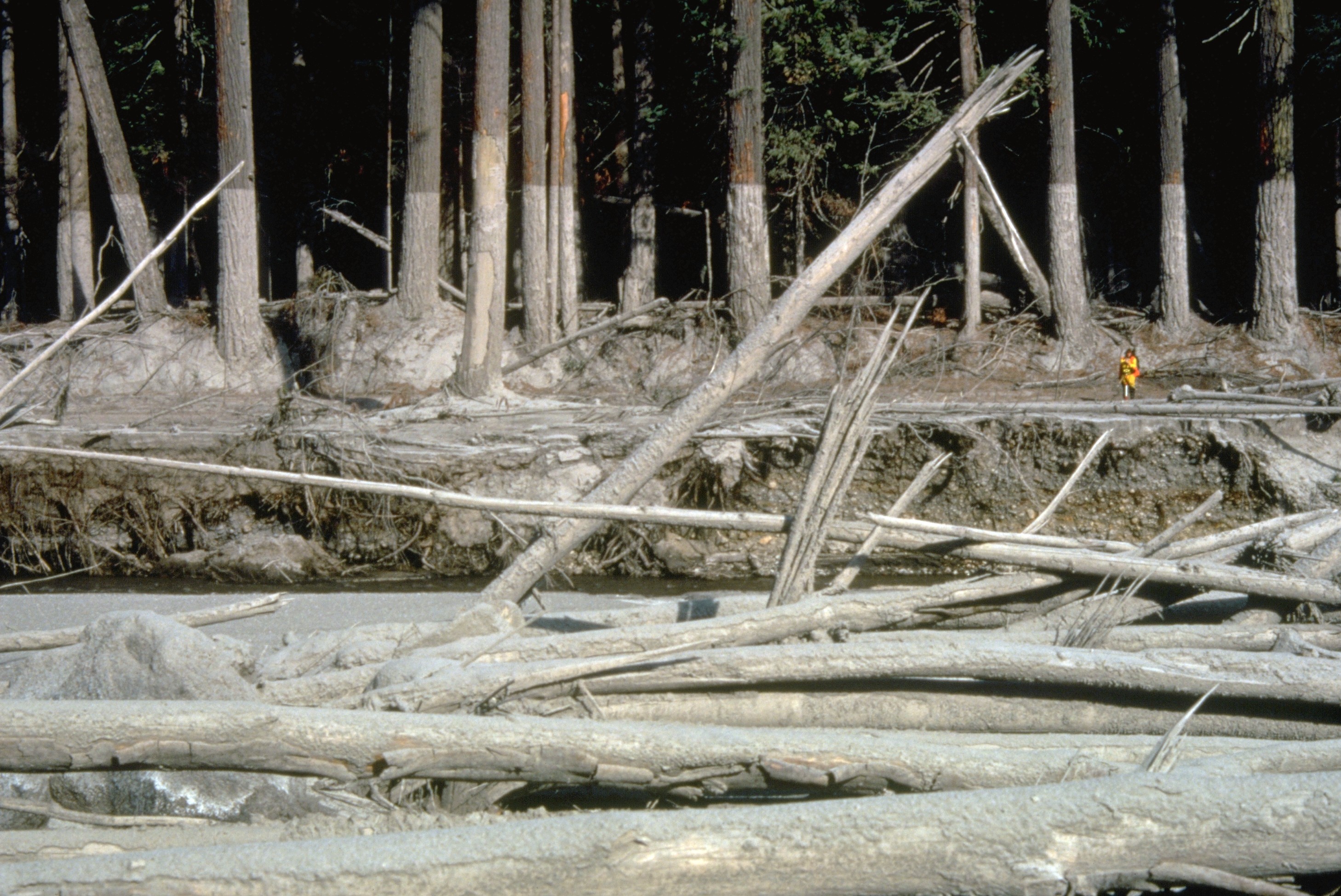
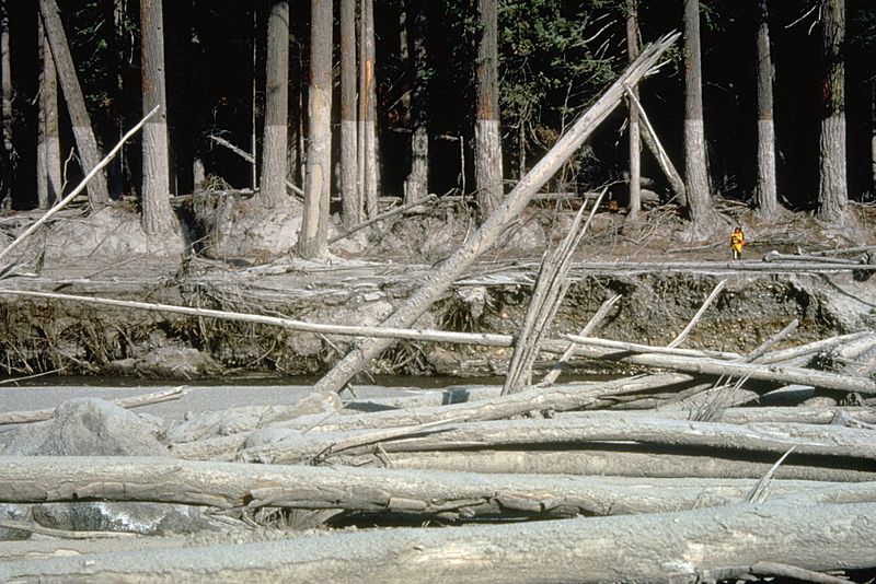
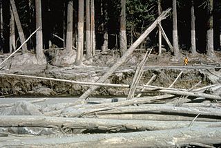
Archivo: MSH80 mudline muddy river with USGS scientist 10-23-80
Tamaño de esta previsualización: 800 × 534 píxeles. Otras resoluciones: 320 × 214 píxeles | 2916 × 1948 píxeles.
Archivo original (2916 × 1948 píxeles; tamaño de archivo: 1,21 MB; tipo MIME: image/jpeg)
Description: (copied description from USGS site): Nearly 135 miles (220 kilometers) of river channels surrounding the volcano [Mt. St. Helens] were affected by the lahars of May 18, 1980. A mudline left behind on trees shows depths reached by the mud. A scientist (middle right) gives scale. This view is along the Muddy River, southeast of Mount St. Helens.
Title: MSH80 mudline muddy river with USGS scientist 10-23-80
Credit: http://vulcan.wr.usgs.gov/Glossary/Lahars/description_lahars.html
Author: Lyn Topinka, USGS
Usage Terms: Public domain
License: Public domain
Attribution Required?: No
Usos del archivo
La siguiente página enlaza a este archivo:

Todo el contenido de los artículos de la Enciclopedia Kiddle (incluidas las imágenes) se puede utilizar libremente para fines personales y educativos bajo la licencia Atribución-CompartirIgual a menos que se indique lo contrario.