
Archivo: Joutel Carte Nouvelle de la Louisiane et de la Riviere de Missisipi 1713 UTA
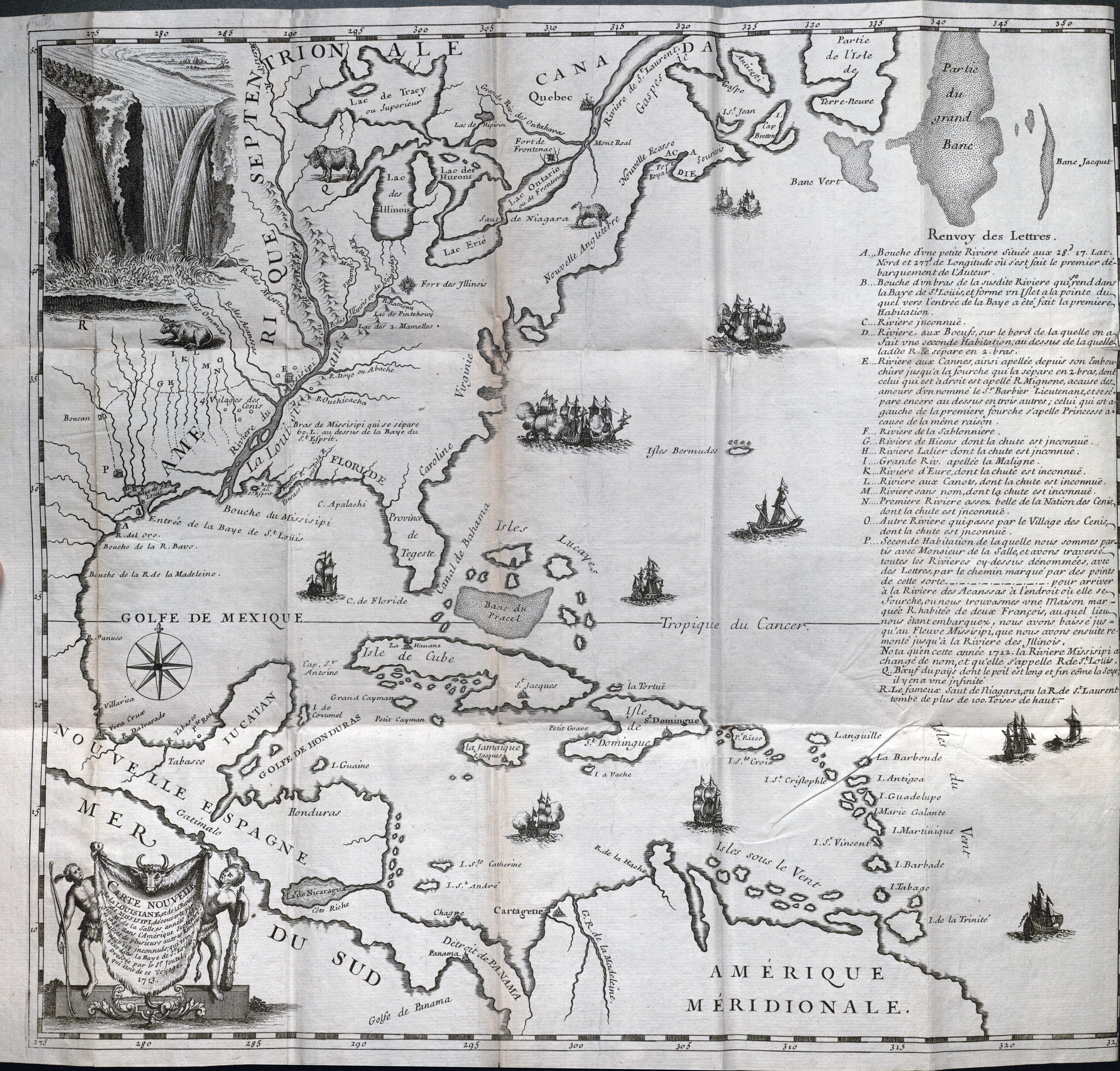
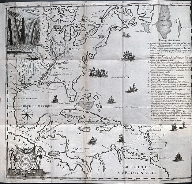
Descripción: One of the first printed maps to show a trail in Texas, this map traces the route of the desperate French colonists under René Robert Cavalier, Sieur de La Salle in 1687 as they left Fort St. Louis on the Texas coast to locate a French post established earlier by La Salle in Illinois. The cartographer and author Henri Joutel (ca.1643-ca.1745) was one of La Salle's most loyal expedition members, serving as second in command and leading the loyal faction that continued on to Illinois and New France after disgruntled colonists killed La Salle in east Texas. The upper portion of the map, including the view of Niagara Falls, derived in part from the work of Missionary Father Louis Hennepin, historian of La Salle's first expedition.
Título: Carte Nouvelle de la Louisiane et de la Riviere de Missisipi, decouverte par feu Mr. de la Salle, annees 1681 et 1686, dans l'Amerique Septentrionale...
Créditos: UTA Libraries Cartographic Connections: map / texto
Autor(a): Henri Joutel
Términos de Uso: Dominio Público
Licencia: Dominio Público
¿Se exige la atribución?: No
Usos del archivo
La siguiente página enlaza a este archivo:
