
Archivo: Islay map-fr

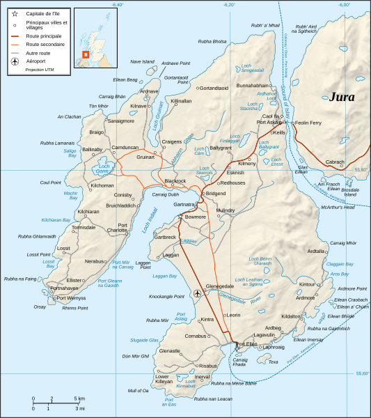
Descripción: Map in French of Islay, Scotland.
Título: Islay map-fr
Créditos: Own work ; Shore / lakes contours and shaded relief : NASA Shuttle Radar Topography Mission (SRTM3 v.2) data (public domain) edited with 3DEM and dlgv32 Pro and vectorized with Inkscape ; Reference used for the additional data : Magic ; Locator map : Sting's composition of Image:British_Isles_Northern_Ireland.svg, Image:British_Isles_Scotland.svg and Image:British_Isles_Wales.svg (modified) created by Cnbrb under PD ; Note: The shaded relief is a raster image embedded in the SVG file.
Autor(a): Ayack
Términos de Uso: Creative Commons Attribution-Share Alike 3.0
Licencia: CC BY-SA 3.0
Enlace de Licencia: https://creativecommons.org/licenses/by-sa/3.0
¿Se exige la atribución?: Sí
Usos del archivo
La siguiente página enlaza a este archivo:
