
Archivo: Island of Hawai'i - Landsat mosaic

Tamaño de esta previsualización: 600 × 600 píxeles. Otras resoluciones: 240 × 240 píxeles | 5076 × 5076 píxeles.
Archivo original (5076 × 5076 píxeles; tamaño de archivo: 5,19 MB; tipo MIME: image/jpeg)
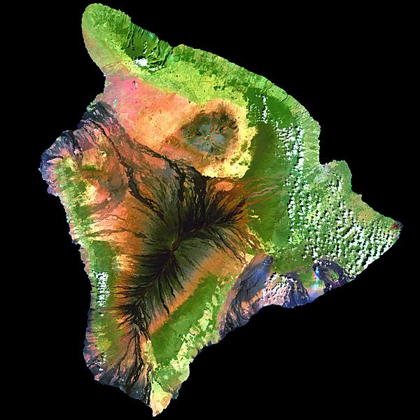
Description: This simulated true-color image of the island of Hawai'i was derived from data gathered by the Enhanced Thematic Mapper plus (ETM+) on the Landsat 7 satellite between 1999 and 2001.
Title: Island of Hawai'i - Landsat mosaic
Credit: Image and its description.
Author: Hawaii Land Cover Analysis project, NOAA Coastal Services Center
Permission: Public domain - original work of NASA and NOAA
Usage Terms: Public domain
License: Public domain
Attribution Required?: No
Usos del archivo
La siguiente página enlaza a este archivo:

Todo el contenido de los artículos de la Enciclopedia Kiddle (incluidas las imágenes) se puede utilizar libremente para fines personales y educativos bajo la licencia Atribución-CompartirIgual a menos que se indique lo contrario.