
Archivo: Flaming Gorge Reservoir aerial
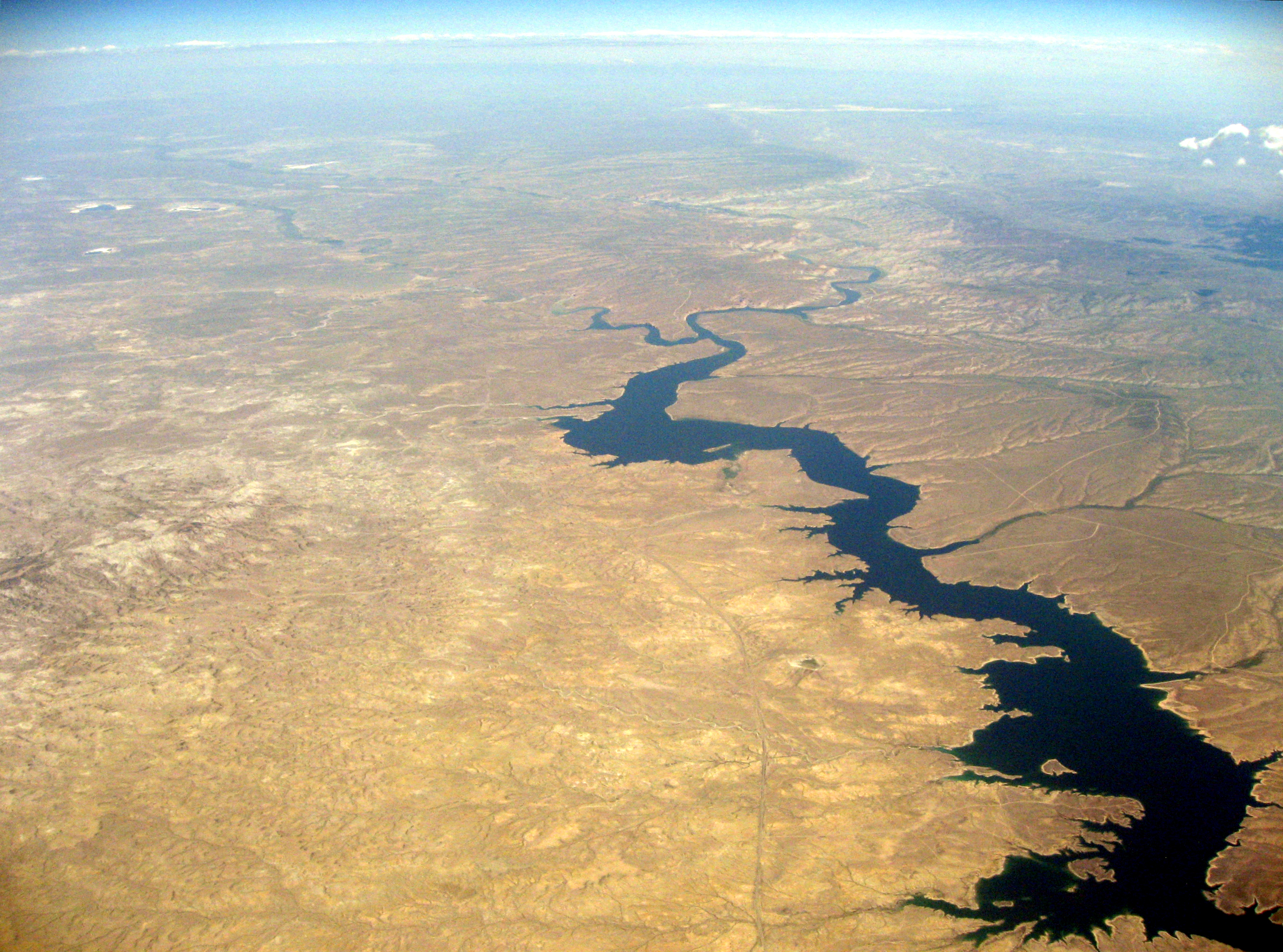
Description: An aerial view looking north-northeast toward Rock Springs, WY of the Flaming Gorge Reservoir and Green River in Sweetwater County. Blacks Fork, a Green River tributary, extends off to the northwest. Wyoming Highway 530 runs up the center of the image along the west side of the reservoir. The northern end of Black Mountain in the Devil's Playground WSA is visible on the left side of the image. The bottom of the image is approximately 3 miles north of the Wyoming-Utah border.
Title: Flaming Gorge Reservoir aerial
Credit: Flaming Gorge Reservoir
Author: David B. Gleason
Usage Terms: Creative Commons Attribution-Share Alike 2.0
License: CC BY-SA 2.0
License Link: http://creativecommons.org/licenses/by-sa/2.0
Attribution Required?: Yes
Usos del archivo
La siguiente página enlaza a este archivo:
