
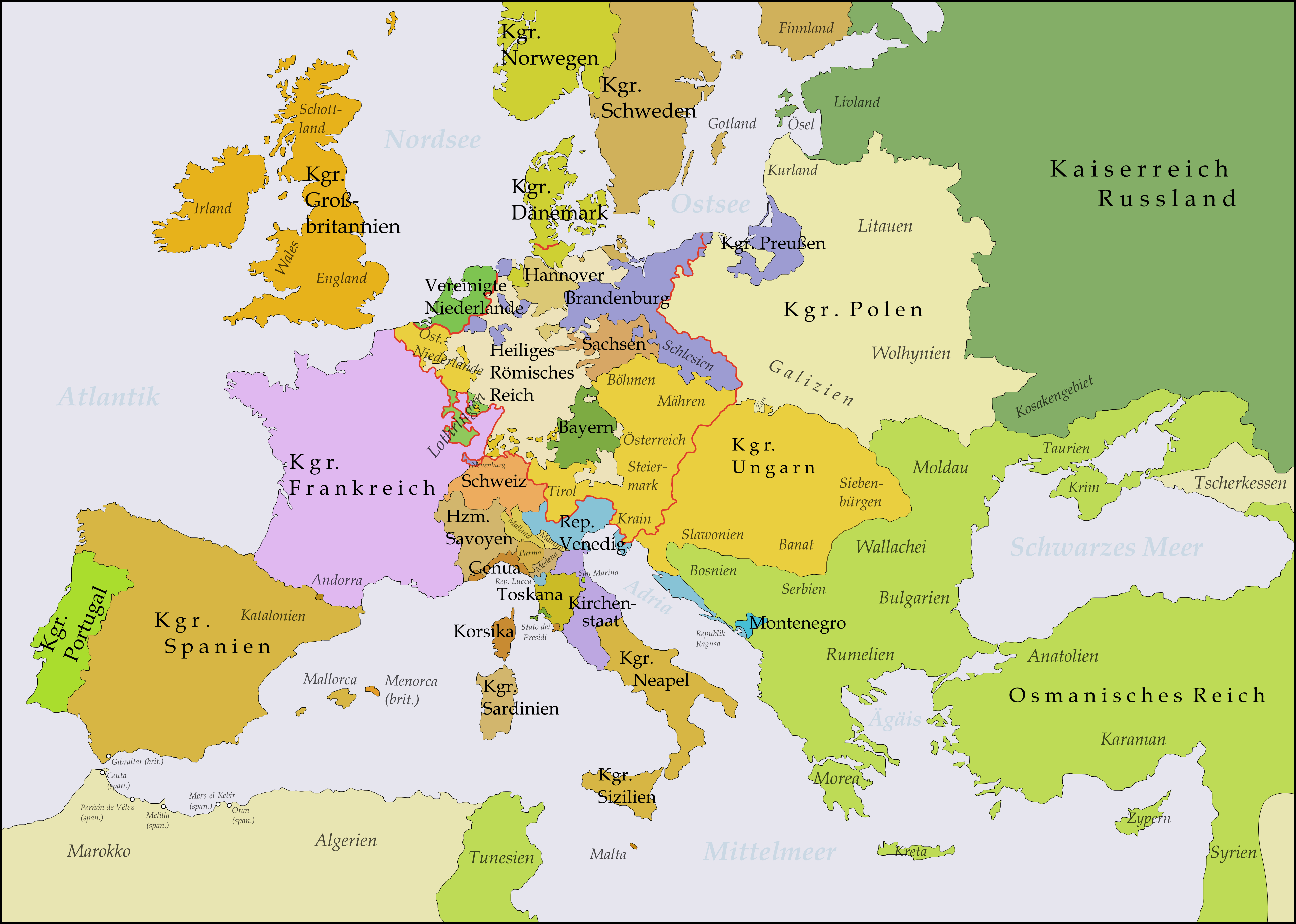
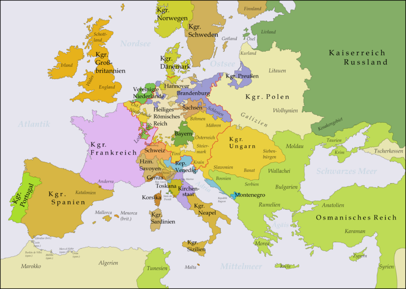
Archivo: Europe 1748-1766
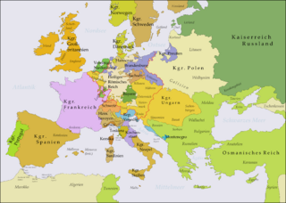
Tamaño de esta previsualización: 800 × 570 píxeles. Otras resoluciones: 320 × 228 píxeles | 3872 × 2761 píxeles.
Archivo original (3872 × 2761 píxeles; tamaño de archivo: 476 KB; tipo MIME: image/png)
Descripción: This map shows Europe in the years after the Treaty of Aix-la-Chapelle 1748 and the Seven Years' War (1756-1763). Europe did not see another major geographical change until 1766. The red line marks the borders of the Holy Roman Empire. The work was created with Inkscape and is mainly based on a map in: Putzger - Historischer Weltatlas, Berlin 1990, 78 pp.
Título: Europe 1748-1766
Créditos: Trabajo propio
Autor(a): Memnon335bc
Términos de Uso: Creative Commons Attribution 3.0
Licencia: CC BY 3.0
Enlace de Licencia: https://creativecommons.org/licenses/by/3.0
¿Se exige la atribución?: Sí
Usos del archivo
La siguiente página enlaza a este archivo:

Todo el contenido de los artículos de la Enciclopedia Kiddle (incluidas las imágenes) se puede utilizar libremente para fines personales y educativos bajo la licencia Atribución-CompartirIgual a menos que se indique lo contrario.