
Archivo: Cerro Aconcagua
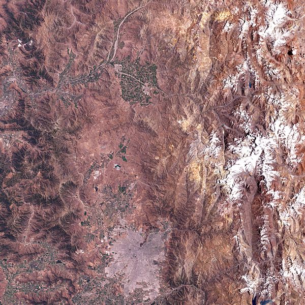
Descripción: In this image, the mountain and the ridge-line of the Andes dominates the scene. Vegetation in the area rarely grows at elevations above 4,000 meters, so this natural-colour scene centred on the river valley of the Horcones River appears very barren. The ridge-line to the west (left in this image) marks the international border with Chile and Argentina, and although Aconcagua is taller than any of the ridge-line mountains, much of the moisture from the humid Pacific air is already wrung from the atmosphere before reaching Argentina, leaving a “rain shadow” which makes the climate around Aconcagua relatively arid. The image also shows a wider area around the mountain, including Santiago, the Chilean capital city, to the south and east of the mountain.
Título: Cerro Aconcagua
Créditos: NASA Earth Observatory
Autor(a): University of Maryland Global Land Cover Facility
Términos de Uso: Dominio Público
Licencia: Dominio Público
¿Se exige la atribución?: No
Usos del archivo
La siguiente página enlaza a este archivo:
