
Archivo: Caño de Martín Peña
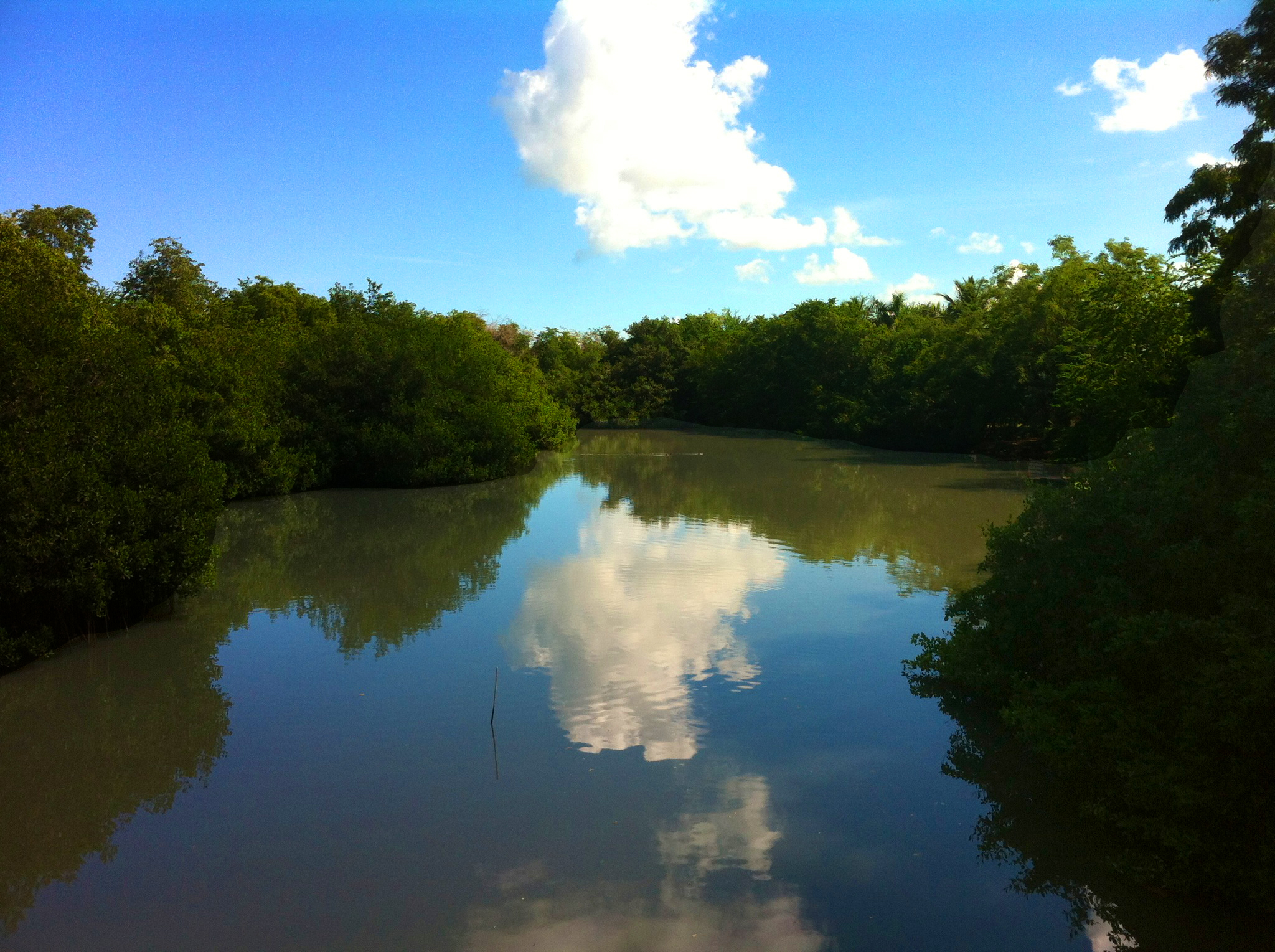
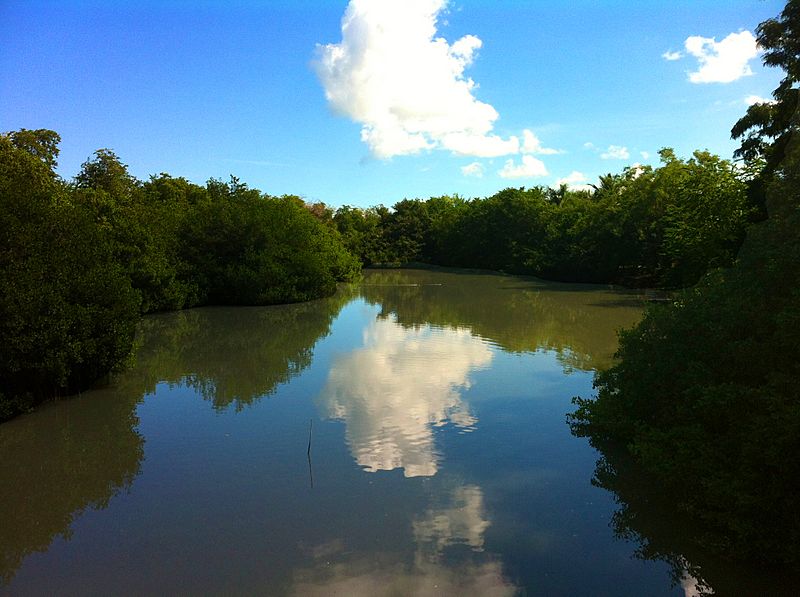
Descripción: Caño Martín Peña was once a navigable waterway through the center of San Juan, connecting two lagoons. Peasants who migrated to San Juan from rural areas during the first half of the 20th century settled along the Caño and built their houses among mangroves. Over time, the Caño (canal) closed in with debris and waste. Over 3,000 structures were located where there was no sewer system, which contributes to environmental degradation and dangerous health conditions when flooding occurs every time it rains. Photo depicts nice side of Caño Martín Peña by Martín Peña bridge on Highway No. 25 (Avenida Ponce de León)
Título: Caño de Martín Peña
Créditos: Trabajo propio
Autor(a): Moebiusuibeom-en
Términos de Uso: Creative Commons Attribution-Share Alike 3.0
Licencia: CC BY-SA 3.0
Enlace de Licencia: https://creativecommons.org/licenses/by-sa/3.0
¿Se exige la atribución?: Sí
Usos del archivo
La siguiente página enlaza a este archivo:
