
Archivo: Baltimore Aerial
Tamaño de esta previsualización: 800 × 532 píxeles. Otras resoluciones: 320 × 213 píxeles | 3008 × 2000 píxeles.
Archivo original (3008 × 2000 píxeles; tamaño de archivo: 2,18 MB; tipo MIME: image/jpeg)
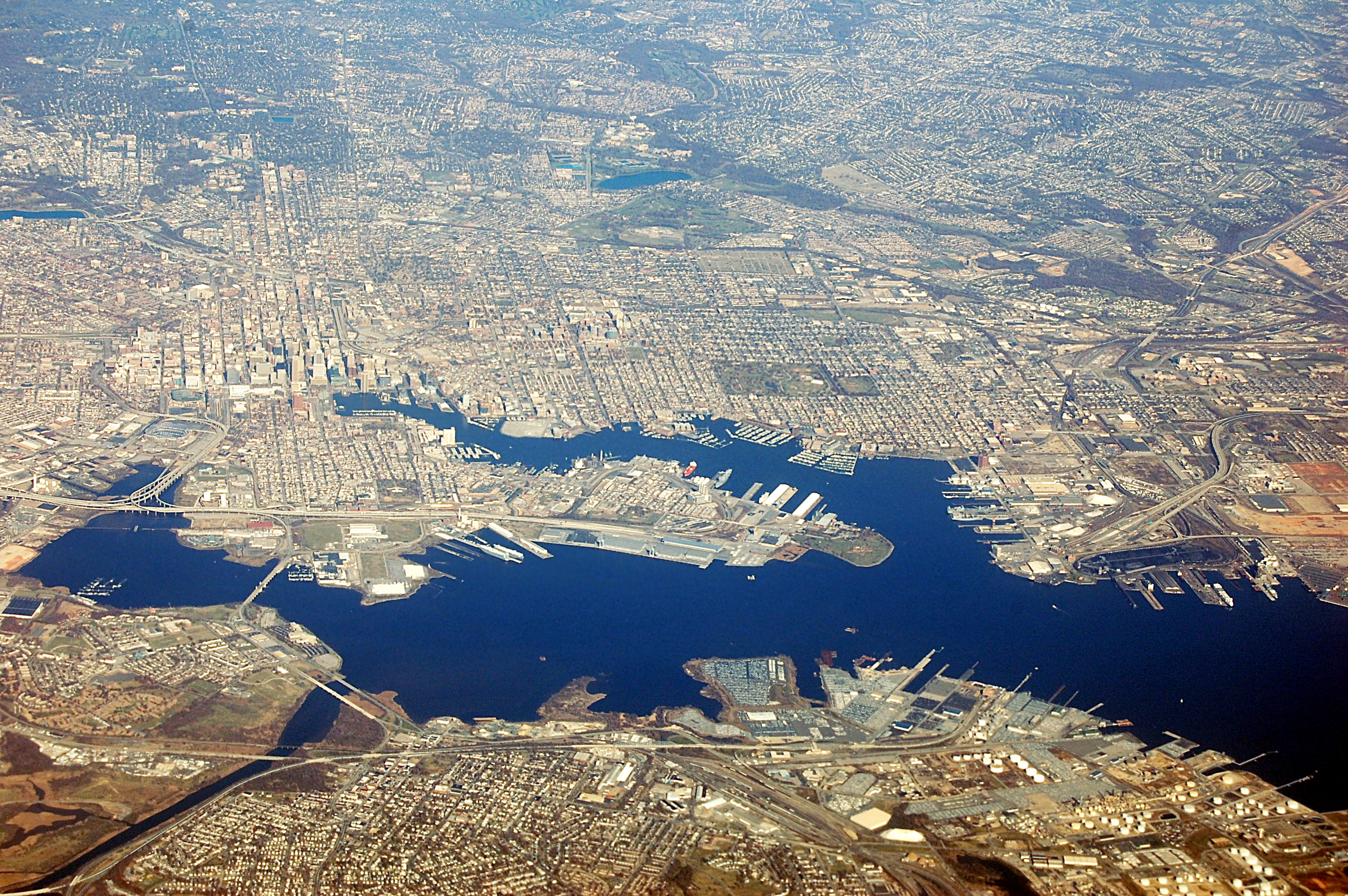
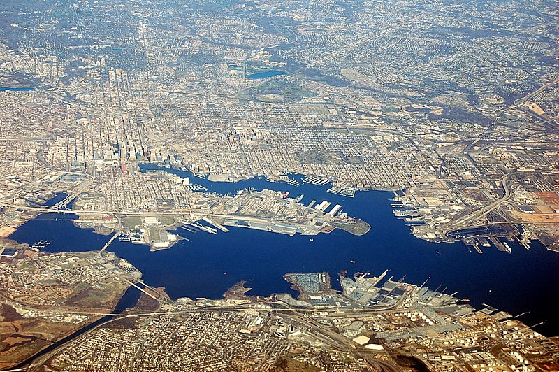
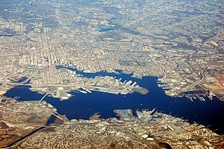
Descripción: An aerial view of Baltimore, Maryland, looking north. At left, one can see two stadiums just southwest of the downtown highrises. The top one is Camden Yards, home of the Baltimore Orioles and the bottom one is M&T Bank Stadium, home of the Ravens. The large 'T' intersection between two highways below these is that of I-395 and I-95. I-95 travels east-west near the seaport and under the Fort McHenry Tunnel center-right and picks up on the other side.
Título: Baltimore Aerial
Créditos: Trabajo propio
Autor(a): Fletcher6
Términos de Uso: Creative Commons Attribution-Share Alike 3.0
Licencia: CC BY-SA 3.0
Enlace de Licencia: https://creativecommons.org/licenses/by-sa/3.0
¿Se exige la atribución?: Sí
Usos del archivo

Todo el contenido de los artículos de la Enciclopedia Kiddle (incluidas las imágenes) se puede utilizar libremente para fines personales y educativos bajo la licencia Atribución-CompartirIgual a menos que se indique lo contrario.