
Archivo: Bali topography plain
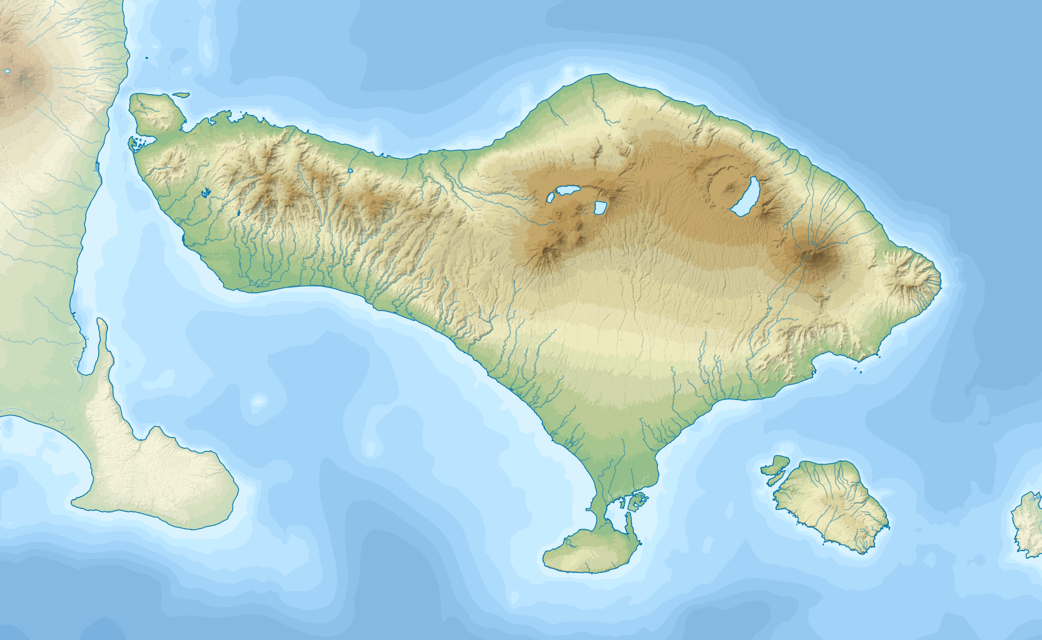
Descripción: Topographic map of Bali.
Título: Bali topography plain
Créditos: This image uses high-resolution digital topography data from NASA's Shuttle Radar Topography Mission (SRTM) at JPL-Caltech [1]. It is in the public domain in the United States.
Autor(a): RXerself
Permiso: This file is a work by User:RXerself published under Creative Commons Attribution-Share Alike 4.0 International license. You can use it outside of Wikimedia projects as long as you appropriately provide an attribution with link according to the terms of the license as: For web publications: RXerself/Wikimedia Commons/CC BY-SA 4.0 For outside of the web and print publications: https://commons.wikimedia.org/wiki/User:RXerself (Creative Commons Attribution-Share Alike 4.0 International).
Términos de Uso: Dominio Público
Licencia: Dominio Público
¿Se exige la atribución?: No
Usos del archivo
La siguiente página enlaza a este archivo:
