
Archivo: 2012 swing state map
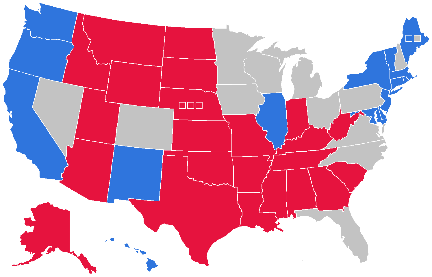
Descripción: Map of all voting entities (twelve states and one congressional district) that voted within six points of the nationwide average in the 2012 United States presidential election. These were also expected to be the battleground states for the subsequent 2016 election. Map Legend: States that voted within 6% of the national average States that voted for incumbent Democratic president Barack Obama by more than 6% States that voted for Republican nominee Mitt Romney by more than 6%
Título: 2012 swing state map
Créditos: Trabajo propio
Autor(a): A Red Cherry
Términos de Uso: Creative Commons Attribution 4.0
Licencia: CC BY 4.0
Enlace de Licencia: https://creativecommons.org/licenses/by/4.0
¿Se exige la atribución?: Sí
Usos del archivo
La siguiente página enlaza a este archivo:
