
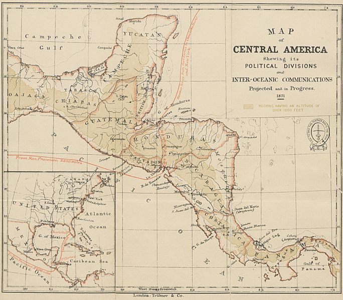
Archivo: 1871 map of Central America showing its political divisions

Descripción: Map of Central America taken from page 8 of Honduras: descriptive, historical, and statistical (British Library HMNTS 10481.pp.2), being a reprint of the chapters on Honduras contained in the book The States of Central America
Título: 1871 map of Central America showing its political divisions
Créditos: This file is from the Mechanical Curator collection, a set of over 1 million images scanned from out-of-copyright books and released to Flickr Commons by the British Library. View in BL Georeferencer View image on Flickr View all images from book View catalogue entry for book.
Autor(a): Ephraim George Squier (1821–1888)
Términos de Uso: Dominio Público
Licencia: Dominio Público
¿Se exige la atribución?: No
Usos del archivo
La siguiente página enlaza a este archivo:
