
Archivo: Wrotham3602
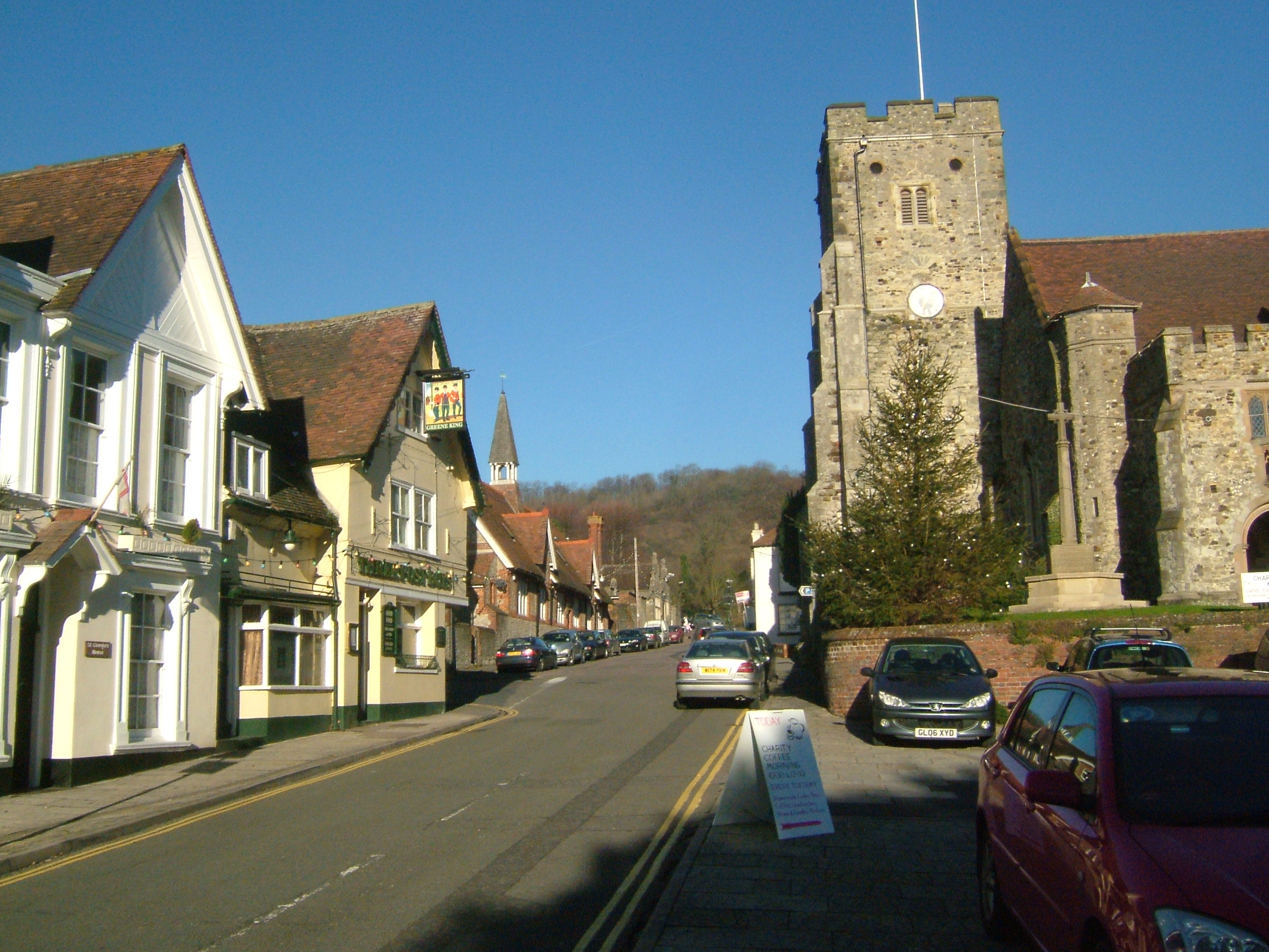
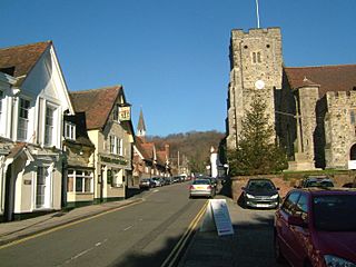
Descripción: Wrotham in Kent, is a parish in Kent, England, south of Gravesend. The High Street and church, looking to the ridge of the North Downs. At the end of the street the road dips and there are the en:Pilgrims' Way, the A20 and the M20. The High Street was the main road from Gravesend to Tonbridge. Posición de la cámara51° 18′ 30,96″ N, 0° 18′ 39,24″ E Ubicación de esta y otras imágenes en: OpenStreetMap 51.308600; 0.310900
Título: Wrotham3602
Créditos: Trabajo propio
Autor(a): Clem Rutter, Rochester Kent
Permiso: Own work, copyleft: Multi-license with GFDL and Creative Commons CC-BY-SA-2.5 and older versions (2.0 and 1.0)
Términos de Uso: Creative Commons Attribution-Share Alike 3.0
Licencia: CC-BY-SA-3.0
Enlace de Licencia: http://creativecommons.org/licenses/by-sa/3.0/
¿Se exige la atribución?: Sí
Usos del archivo
No hay páginas que enlacen a esta imagen.
