
Archivo: Wolterton Lake - geograph.org.uk - 779178
No disponible en mayor resolución.
Wolterton_Lake_-_geograph.org.uk_-_779178.jpg (640 × 446 píxeles; tamaño de archivo: 131 KB; tipo MIME: image/jpeg)
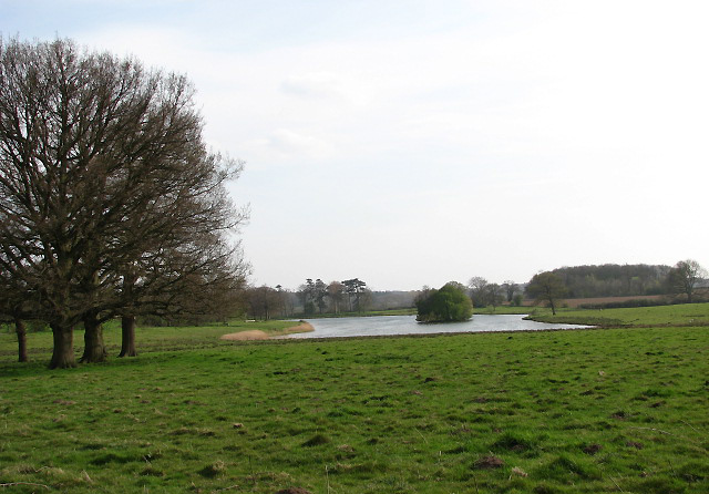
Descripción: Wolterton Lake Viewed across cattle pasture. The waymarked public footpaths and permissive paths traversing Wolterton Park cover more than 20 miles; they lead around Wolterton and neighbouring Mannington, some connecting with the Weavers Way long distance footpath and the Holt circular walk. There also is an orienteering course and adventure playground.
Título: Wolterton Lake - geograph.org.uk - 779178
Créditos: From geograph.org.uk
Autor(a): Evelyn Simak
Términos de Uso: Creative Commons Attribution-Share Alike 2.0
Licencia: CC BY-SA 2.0
Enlace de Licencia: https://creativecommons.org/licenses/by-sa/2.0
¿Se exige la atribución?: Sí
Usos del archivo
La siguiente página enlaza a este archivo:

Todo el contenido de los artículos de la Enciclopedia Kiddle (incluidas las imágenes) se puede utilizar libremente para fines personales y educativos bajo la licencia Atribución-CompartirIgual a menos que se indique lo contrario.