
Archivo: Washington Township and Centerville
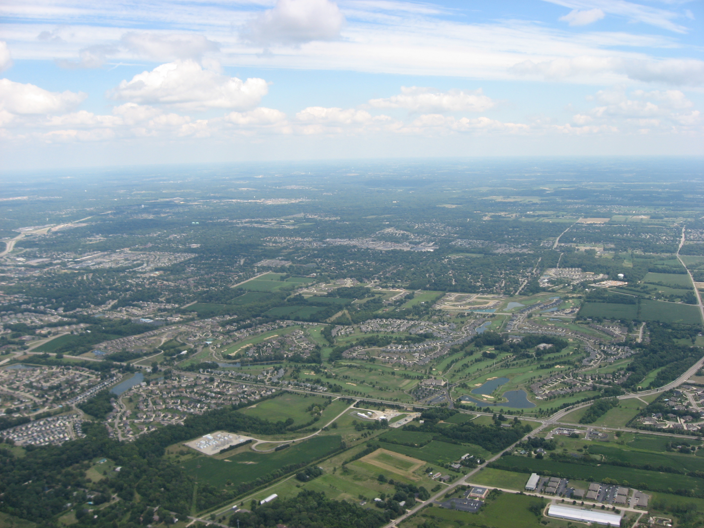
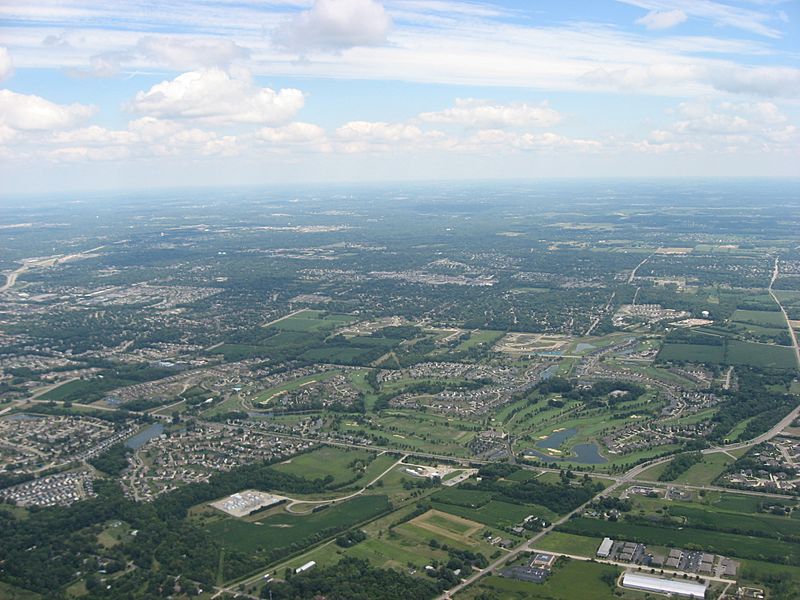
Description: Aerial view of southern Washington Township, Montgomery County, Ohio, United States, with the city of Centerville in the distance. The major intersection on the right side of the picture, south of the Yankee Trace Golf Course, is that of Yankee Street and Austin/Social Row Road. Picture taken from a Diamond Eclipse light airplane at an altitude of 3,450 feet MSL and a bearing of approximately 250º.
Title: Washington Township and Centerville
Credit: Own work
Author: Nyttend
Permission: I, the copyright holder of this work, release this work into the public domain. This applies worldwide. In some countries this may not be legally possible; if so: I grant anyone the right to use this work for any purpose, without any conditions, unless such conditions are required by law.
Usage Terms: Public domain
License: Public domain
Attribution Required?: No
Usos del archivo
La siguiente página enlaza a este archivo:
