
Archivo: United States 1860-1870
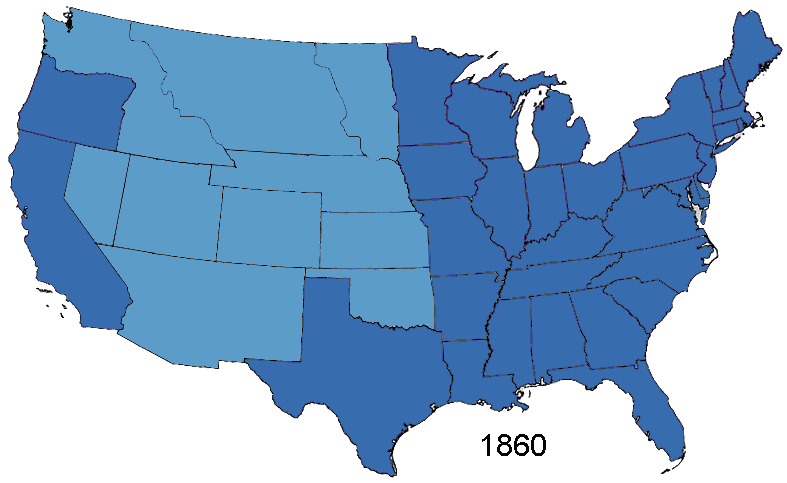
Descripción: Animated map, about the American Civil War and the restoration of the southern states and the Union (made in Photoshop). States of the Union (with full delegations in the U.S. Congress) Union Territories (including the southern states before and during the war) States of the Confederacy Territories of the Confederacy
Título: United States 1860-1870
Créditos: Based on Creative Commons Licenced 1861 map and GNU-1864 Licenced map. Information from the Wikipedia articles Confederate States of America, List of US states by date of statehood, and has also just exterior sites When states Became states. Civil war borders Used from public domain Perry-Castañeda Library Map Collection 1861-1865 map. Border Between Arizona Territory (CSA) and New Mexico Territory Is That Depicted in public domain map Image: Map of CSA 4.png
Autor(a): User:Roke~commonswiki
Términos del Uso: Creative Commons Attribution-Share Alike 3.0
Licencia: CC-BY-SA-3.0
Enlace de Licencia: http://creativecommons.org/licenses/by-sa/3.0/
¿Se exige la atribución?: Sí
Usos del archivo
Las siguientes páginas enlazan a este archivo:
