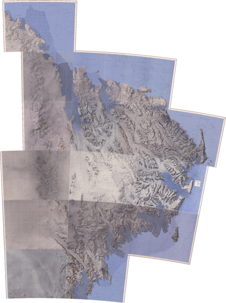
Archivo: Transantarctic Mountains North Victoria Land

Descripción: Carte de la Terre Victoria septentrionale
Título: Transantarctic Mountains North Victoria Land
Créditos: Este archivo deriva de: C69198s1 Suvorov Glacier.jpg de United States Geological Survey C70198s1 Ant.Map Pomerantz Tableland.jpg de United States Geological Survey C70195s1 Ant.Map Ob' Bay.jpg de United States Geological Survey C70192s1 Yule Bay.jpg de United States Geological Survey C71198s1 Ant.Map Daniels Range.jpg de United States Geological Survey C71195s1 Ant.Map Mount Soza.jpg de United States Geological Survey C71192s1 Ant.Map Ebbe Glacier.jpg de United States Geological Survey C71188s5 Ant.Map Cape Adare.jpg de United States Geological Survey C72200s1 Ant.Map Welcome Mountain.jpg de United States Geological Survey C72193s5 Ant.Map Freyberg Mountains.jpg de United States Geological Survey C72189s1 Ant.Map Cape Hallet.jpg de United States Geological Survey C73202s5 Ant.Map Sequence Hills.jpg de United States Geological Survey C73193s5 Ant.Map Mount Murchison.jpg de United States Geological Survey C73189s1 Ant.Map Coulman Island.jpg de United States Geological Survey C74198s1 Ant.Map Reeves Névé.jpg de United States Geological Survey C74193s5 Ant.Map Mount Melbourne.jpg de United States Geological Survey
Autor(a): Gemini1980
Términos de Uso: Dominio Público
Licencia: Dominio Público
¿Se exige la atribución?: No
Usos del archivo
La siguiente página enlaza a este archivo:

