
Archivo: Tennessee-valley-mt-roosevelt1

Tamaño de esta previsualización: 800 × 416 píxeles. Otras resoluciones: 320 × 166 píxeles | 2013 × 1047 píxeles.
Archivo original (2013 × 1047 píxeles; tamaño de archivo: 278 KB; tipo MIME: image/jpeg)
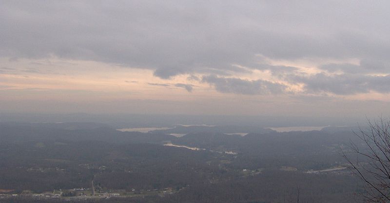
Description: The Tennessee Valley, looking east from Mount Roosevelt, at the edge of the Cumberland Plateau. The Watts Bar Lake impoundment of the Tennessee River is below, toward the center of the photograph. Part of Rockwood, Tennessee is in the lower left corner. On a clear day, the Great Smoky Mountains span the horizon.
Title: Tennessee-valley-mt-roosevelt1
Credit: Own work
Author: Brian Stansberry
Usage Terms: Creative Commons Attribution 3.0
License: CC BY 3.0
License Link: https://creativecommons.org/licenses/by/3.0
Attribution Required?: Yes
Usos del archivo
La siguiente página enlaza a este archivo:

Todo el contenido de los artículos de la Enciclopedia Kiddle (incluidas las imágenes) se puede utilizar libremente para fines personales y educativos bajo la licencia Atribución-CompartirIgual a menos que se indique lo contrario.