
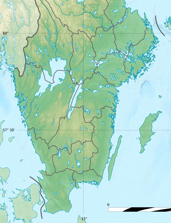
Archivo: Sweden relief location map, 40south
Descripción: Blank relief location map of Sweden
Título: Sweden relief location map, 40south
Créditos: Physical background map, rivers and lakes: own work Sources of data: SRTM30 Plus NGDC World Data Bank II (public domain) Shorelines and political boundaries taken from File:Sweden_location_map.svg created by NordNordWest under GFDL/CC-BY-SA 3.0
Autor(a): Eric Gaba (Sting - fr:Sting) and NordNordWest
Permiso: Attribution and Share-Alike required Any use of this map can be made as long as you credit me (Eric Gaba – Wikimedia Commons user: Sting) and Wikimedia Commons user: NordNordWest as the authors and distribute the copies and derivative works under the same license(s) that the one(s) stated below. A message with a reply address would also be greatly appreciated.
Términos de Uso: Creative Commons Attribution-Share Alike 3.0
Licencia: CC BY-SA 3.0
Enlace de Licencia: https://creativecommons.org/licenses/by-sa/3.0
¿Se exige la atribución?: Sí
Usos del archivo
Las siguientes páginas enlazan a este archivo:
