
Archivo: South Africa Western Cape location map

Tamaño de esta previsualización PNG del archivo SVG: 749 × 600 píxeles. Otra resolución: 300 × 240 píxeles.
Archivo original (archivo SVG, nominalmente 1214 × 972 píxeles, tamaño de archivo: 204 KB)
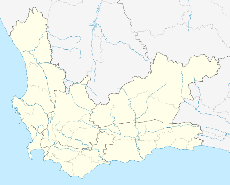
Description: Location map of the Western Cape Equirectangular projection, N/S stretching 118%. Geographic limits of the map: N: 30.25° S S: 35.0° S W: 17.5° E E: 24.5° E
Title: South Africa Western Cape location map
Credit: Boundaries and coastline: Municipal Demarcation Board Rivers: VMAP0
Author: Htonl
Permission: I, the copyright holder of this work, hereby publish it under the following license:
Usage Terms: Creative Commons Attribution-Share Alike 3.0
License: CC BY-SA 3.0
License Link: https://creativecommons.org/licenses/by-sa/3.0
Attribution Required?: Yes
Usos del archivo
La siguiente página enlaza a este archivo:

Todo el contenido de los artículos de la Enciclopedia Kiddle (incluidas las imágenes) se puede utilizar libremente para fines personales y educativos bajo la licencia Atribución-CompartirIgual a menos que se indique lo contrario.