
Archivo: SiegeOfQuebec1759ByDesBarres
Tamaño de esta previsualización: 800 × 386 píxeles. Otras resoluciones: 320 × 154 píxeles | 6854 × 3304 píxeles.
Archivo original (6854 × 3304 píxeles; tamaño de archivo: 8,58 MB; tipo MIME: image/jpeg)
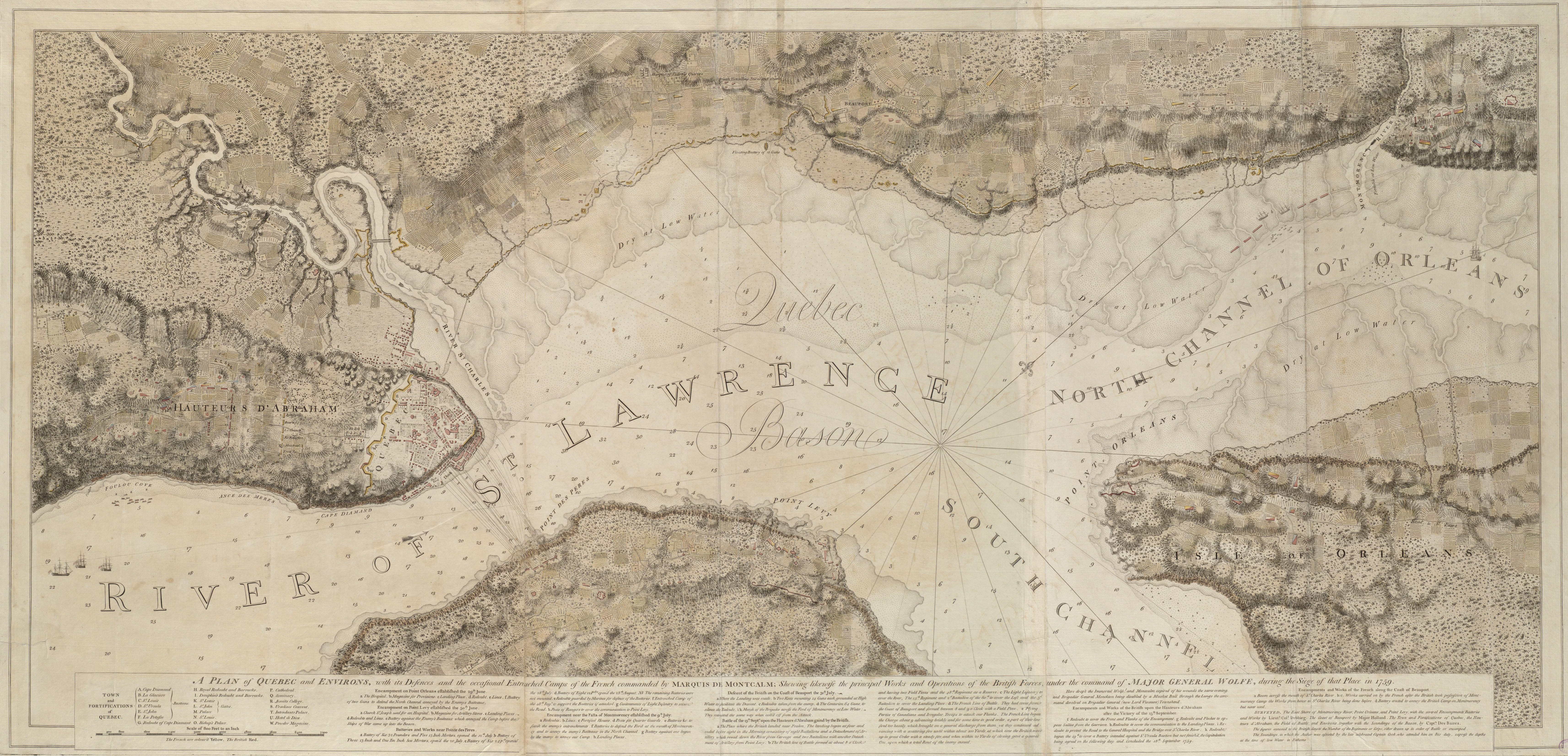
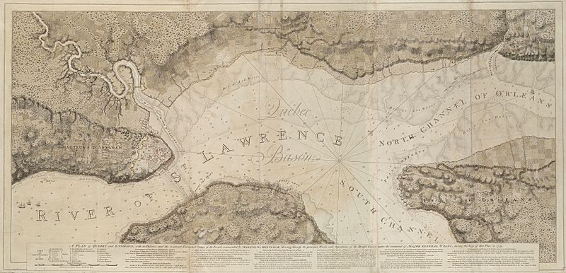
Descripción: This is a map depicting the troop arrangements at the 1759 Siege of Quebec. The caption reads: A Plan of Quebec and Environs, with its Defenses and the occasional entrenched Camps of the French commanded by Marquis de Montcalme; shewing likewise the principal Works and Operations of the British Forces, under the command of Major General Wolfe, during the Siege of that Place in 1759.
Título: SiegeOfQuebec1759ByDesBarres
Créditos: Boston Public Library Digital Maps Collection Call Number: G1106.P5 1777 .D4
Autor(a): Joseph F. W. Des Barres
Términos de Uso: Dominio Público
Licencia: Dominio Público
¿Se exige la atribución?: No
Usos del archivo
La siguiente página enlaza a este archivo:

Todo el contenido de los artículos de la Enciclopedia Kiddle (incluidas las imágenes) se puede utilizar libremente para fines personales y educativos bajo la licencia Atribución-CompartirIgual a menos que se indique lo contrario.