
Archivo: Shoreline of Lakeside from the air
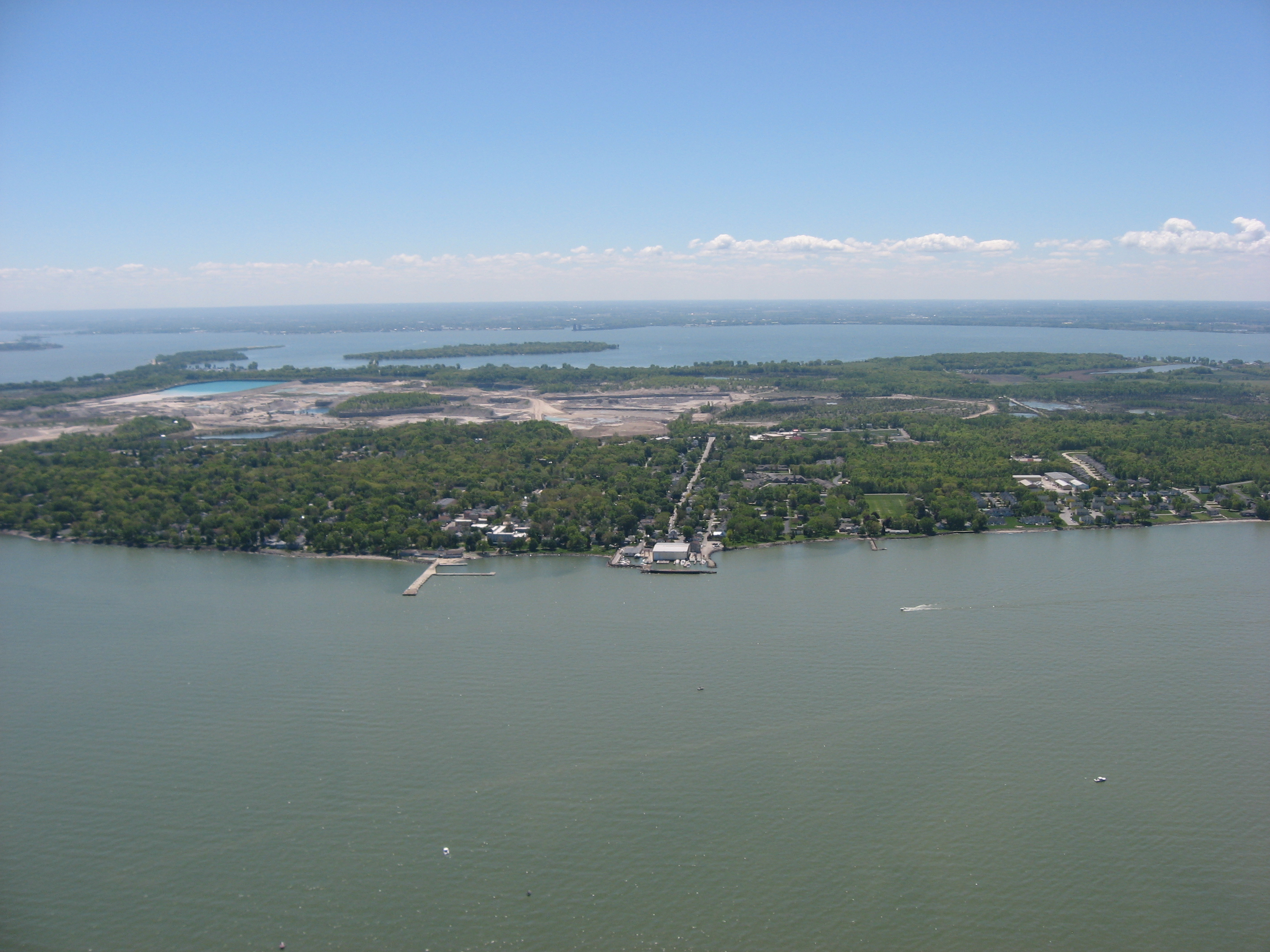
Description: Aerial view of Lakeside, a community in Ottawa County, Ohio, United States between Marblehead and Port Clinton. Johnson's Island is located in Sandusky Bay, in the background on the far side of the Marblehead Peninsula. Picture taken from a Diamond Eclipse light airplane at an altitude of 1,700 feet MSL and a bearing of approximately 173º.
Title: Shoreline of Lakeside from the air
Credit: Own work
Author: Nyttend
Permission: I, the copyright holder of this work, release this work into the public domain. This applies worldwide. In some countries this may not be legally possible; if so: I grant anyone the right to use this work for any purpose, without any conditions, unless such conditions are required by law.
Usage Terms: Public domain
License: Public domain
Attribution Required?: No
Usos del archivo
La siguiente página enlaza a este archivo:
