
Archivo: Satellite image of Flevopolder, Netherlands (5.48E 52.43N)
Tamaño de esta previsualización: 800 × 548 píxeles. Otras resoluciones: 320 × 219 píxeles | 1024 × 702 píxeles.
Archivo original (1024 × 702 píxeles; tamaño de archivo: 1,49 MB; tipo MIME: image/png)
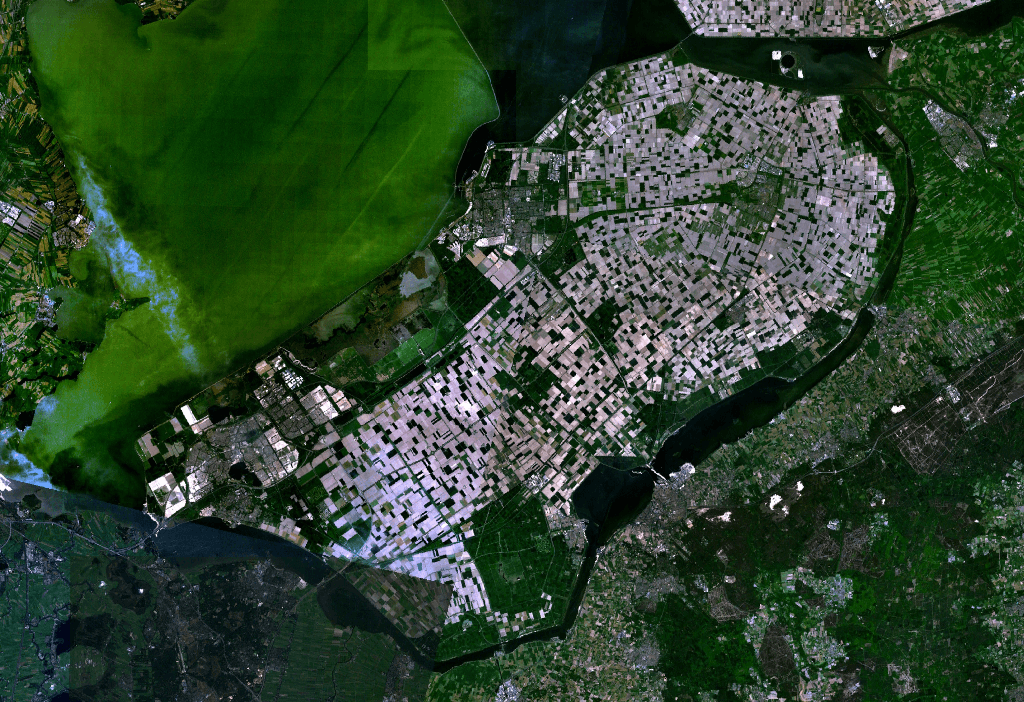
Description: Satellite image of the Flevopolder in the Netherlands. Technically, the Flevopolder consists of Zuidelijk Flevoland (Southern Flevoland), Oostelijk Flevoland (Eastern Flevoland) and the Noordoostpolder (North Eastern Polder). This image shows Southern and Eastern Flevoland.
Title: Satellite image of Flevopolder, Netherlands (5.48E 52.43N)
Credit: Screenshot from NASA's World Wind
Usage Terms: Public domain
License: Public domain
Attribution Required?: No
Usos del archivo
La siguiente página enlaza a este archivo:
.png&oldid=542629)

Todo el contenido de los artículos de la Enciclopedia Kiddle (incluidas las imágenes) se puede utilizar libremente para fines personales y educativos bajo la licencia Atribución-CompartirIgual a menos que se indique lo contrario.
.png)