
Archivo: Sarcophilus harrisii extent
No disponible en mayor resolución.
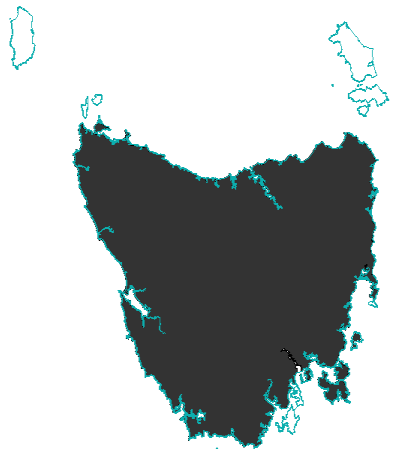
Sarcophilus_harrisii_extent.png (403 × 461 píxeles; tamaño de archivo: 15 KB; tipo MIME: image/png)
Description: Map showing the extent of the Tasmanian Devil, made from data generated in 2008 by the IUCN, and using an Australian coastline vector from CloudMade Downloads. Shows the Tasmanian Devil's extent on the main island of Tasmania and Robbins Island. http://www.iucnredlist.org/technical-documents/spatial-data http://downloads.cloudmade.com/
Title: Sarcophilus harrisii extent
Credit: IUCN and CloudMade Downloads
Author: I did, using data from the IUCN redlist and a coastline of Australia from CloudMade Downloads.
Usage Terms: Creative Commons Attribution-Share Alike 3.0
License: CC BY-SA 3.0
License Link: http://creativecommons.org/licenses/by-sa/3.0
Attribution Required?: Yes
Usos del archivo
La siguiente página enlaza a este archivo:

Todo el contenido de los artículos de la Enciclopedia Kiddle (incluidas las imágenes) se puede utilizar libremente para fines personales y educativos bajo la licencia Atribución-CompartirIgual a menos que se indique lo contrario.