
Archivo: Pottstown Landing
Tamaño de esta previsualización: 800 × 600 píxeles. Otras resoluciones: 320 × 240 píxeles | 3892 × 2919 píxeles.
Archivo original (3892 × 2919 píxeles; tamaño de archivo: 3,93 MB; tipo MIME: image/jpeg)
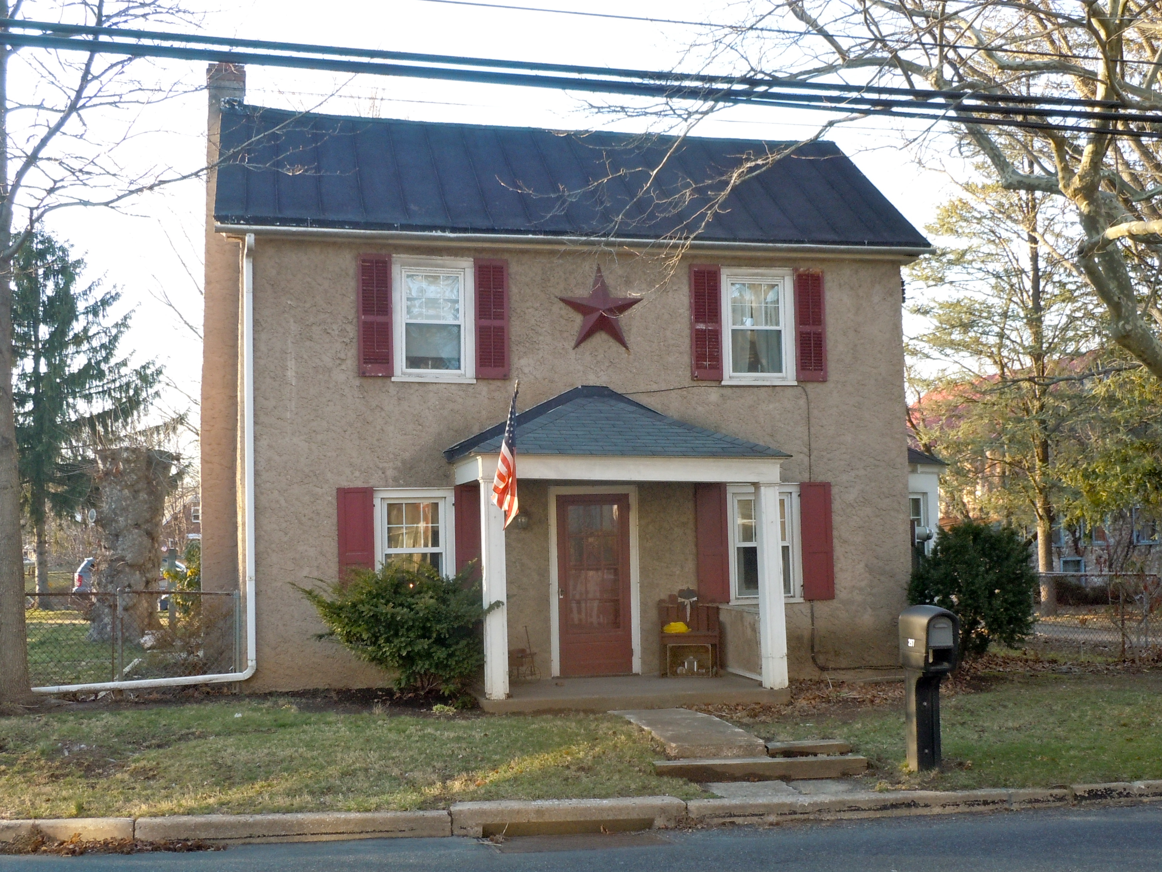
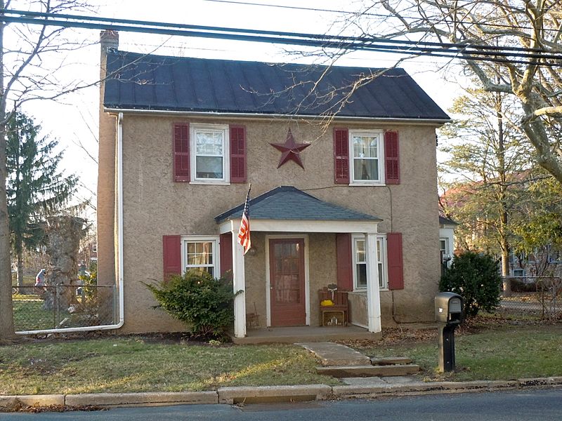
Description: Pottstown Landing Historic District on the NRHP since August 31, 2001. The HD is roughly bounded by U.S. Route 422 bypass, Whartnaby Street 633 Laurelwood Road and Reiff Street in North Coventry Township, Chester County, Pennsylvania. This is a group of about 5 houses and a barn, located across the Schuylkil River from Pottstown, Pennsylvania. Location is rather odd, bounded by the river, under the expresway, with a big shopping mall on the side.
Title: Pottstown Landing
Credit: Own work
Author: Smallbones
Usage Terms: Creative Commons Zero, Public Domain Dedication
License: CC0
License Link: http://creativecommons.org/publicdomain/zero/1.0/deed.en
Attribution Required?: No
Usos del archivo
La siguiente página enlaza a este archivo:

Todo el contenido de los artículos de la Enciclopedia Kiddle (incluidas las imágenes) se puede utilizar libremente para fines personales y educativos bajo la licencia Atribución-CompartirIgual a menos que se indique lo contrario.