
Archivo: Pechora
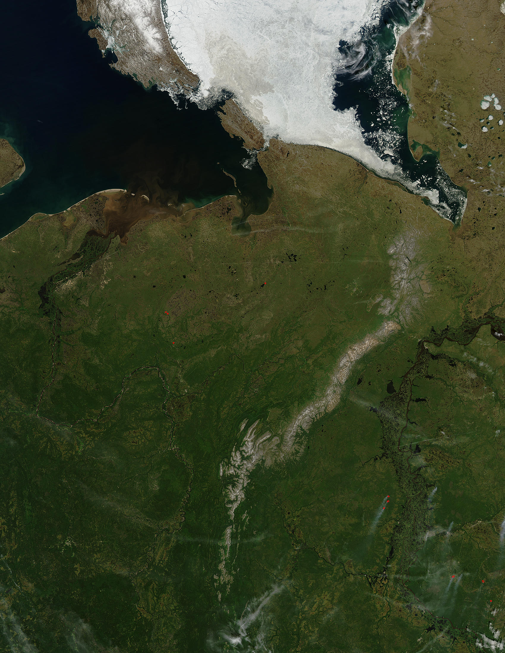
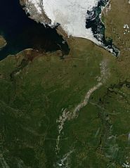
Descripción: Pechora River sattelite photo On July 3, 2004, sea ice still covered much of the Kara Sea in Northeastern Russia, near the western edge of Siberia, when the Moderate Resolution Imaging Spectroradiometer (MODIS) on NASA’s Aqua satellite captured this image. The southern tip of Novaya Zemlya Island curves out of the upper left corner of the image and is separated from Vaygach Island by Karskiye Vorota Strait. The narrow Yugorskiy Shar Strait, which separates Vaygach Island from mainland Russia, is clogged with sea ice. To the west, image left, the Pechora River is emptying brown, sediment-rich water into the Pechorskoye Sea. The water is probably loaded with mud as the far north thaws for the summer. In the lower right corner of the image, MODIS has detected a handful of fires, marked in red, which are sending light plumes of smoke to the southwest.
Título: Pechora
Créditos: Trabajo propio
Autor(a): user:Svart
Términos de Uso: Dominio Público
Licencia: Dominio Público
¿Se exige la atribución?: No
Usos del archivo
Las siguientes páginas enlazan a este archivo:
